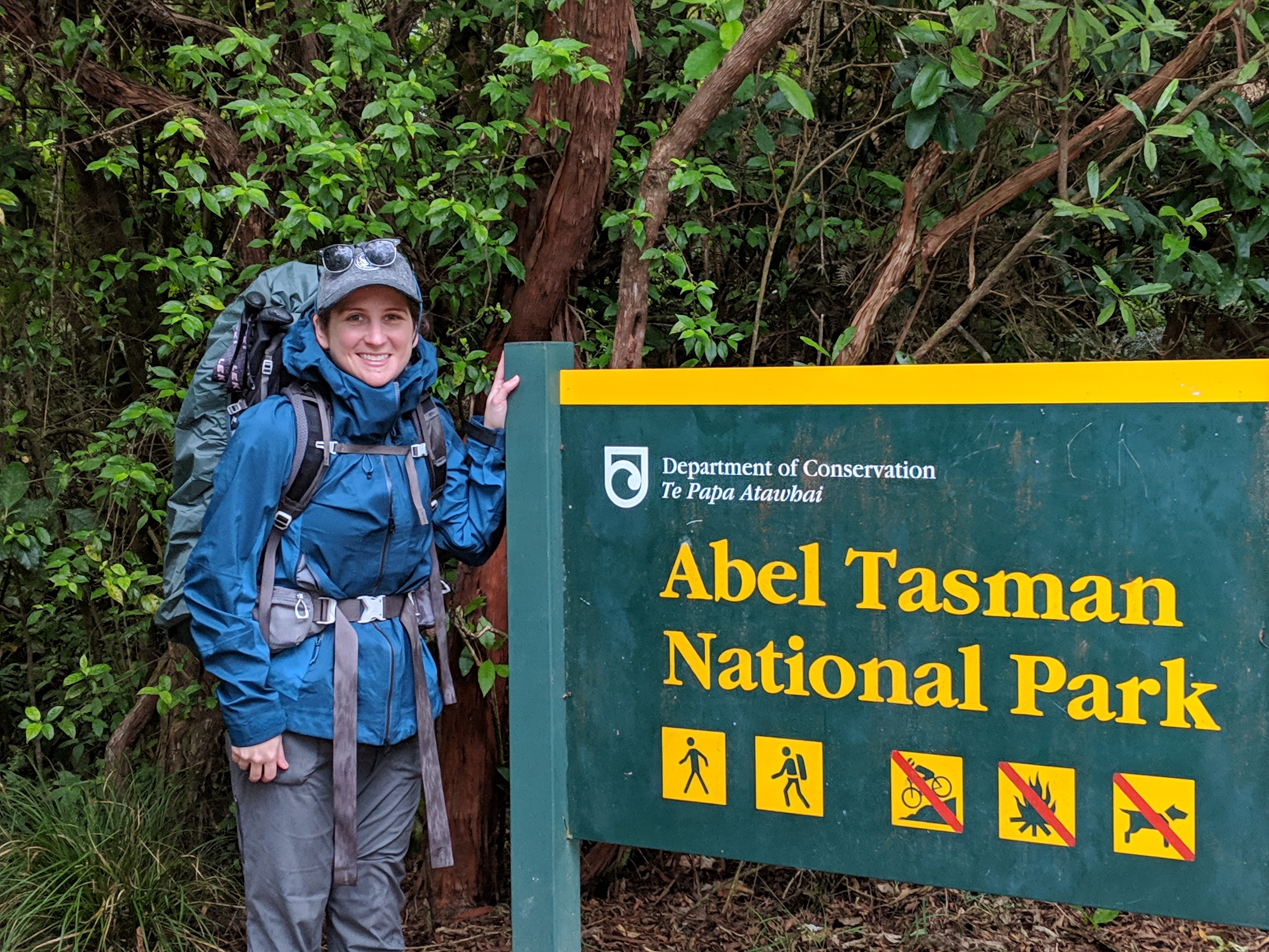
One of the big things to do in New Zealand is a Great Walk. There are 9 or 10 Great Walks across the islands, and we chose to do the Abel Tasman for a few reasons:
- This track is along the northern coast of the southern island, meaning the campsites have beaches!
- It is one of the easier tracks on the list.
- It was the only one that had room for us at the campsites with timing that matched our other plans.
We would have liked to stay in the huts so that we did not need to carry a tent/camping gear with us, but they were booked! So we brought along an extra bag full of camping gear just for these 3 nights. (You have to book your stay at a Great Walk campsite or hut directly through the DOC.)
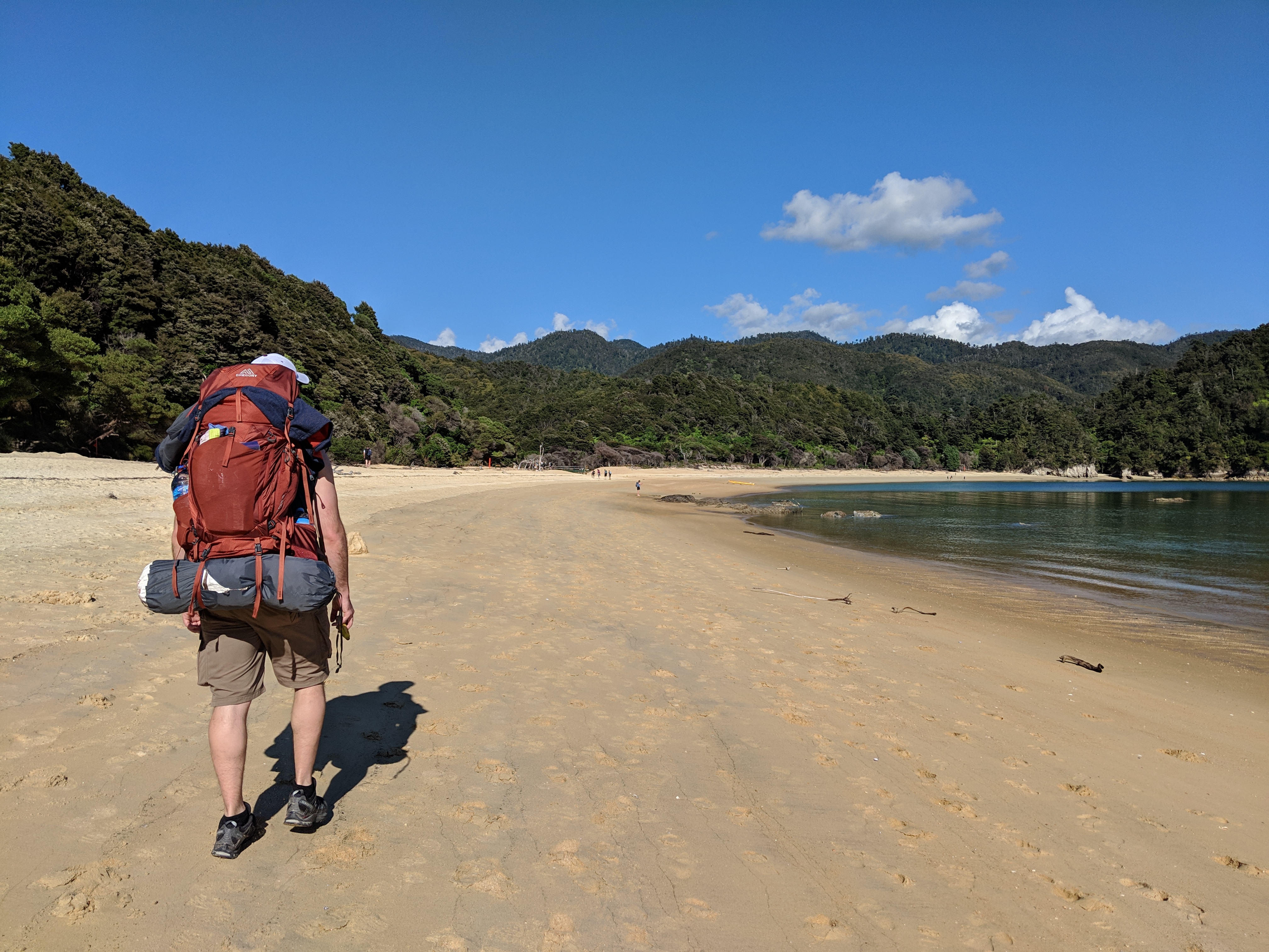
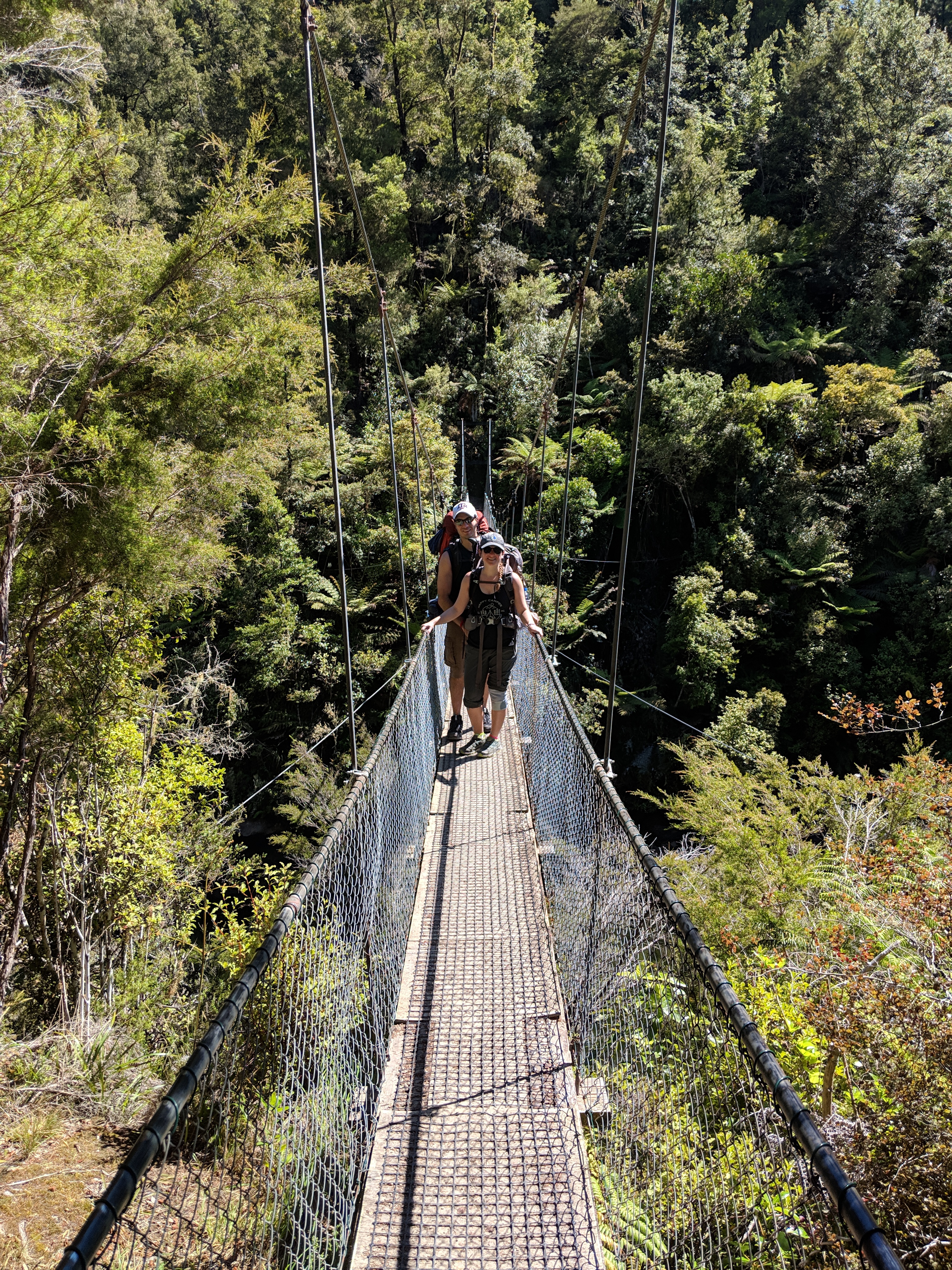
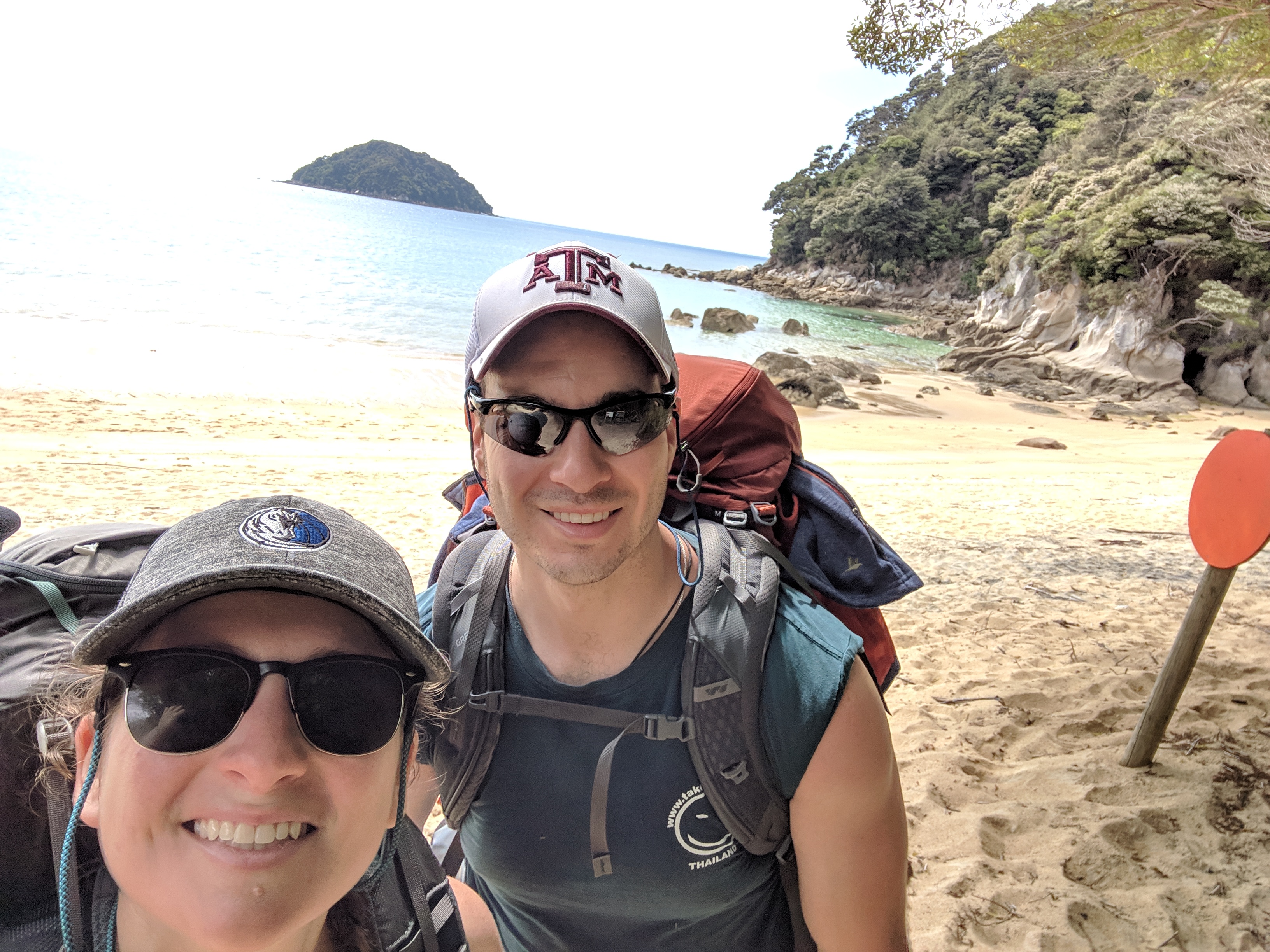
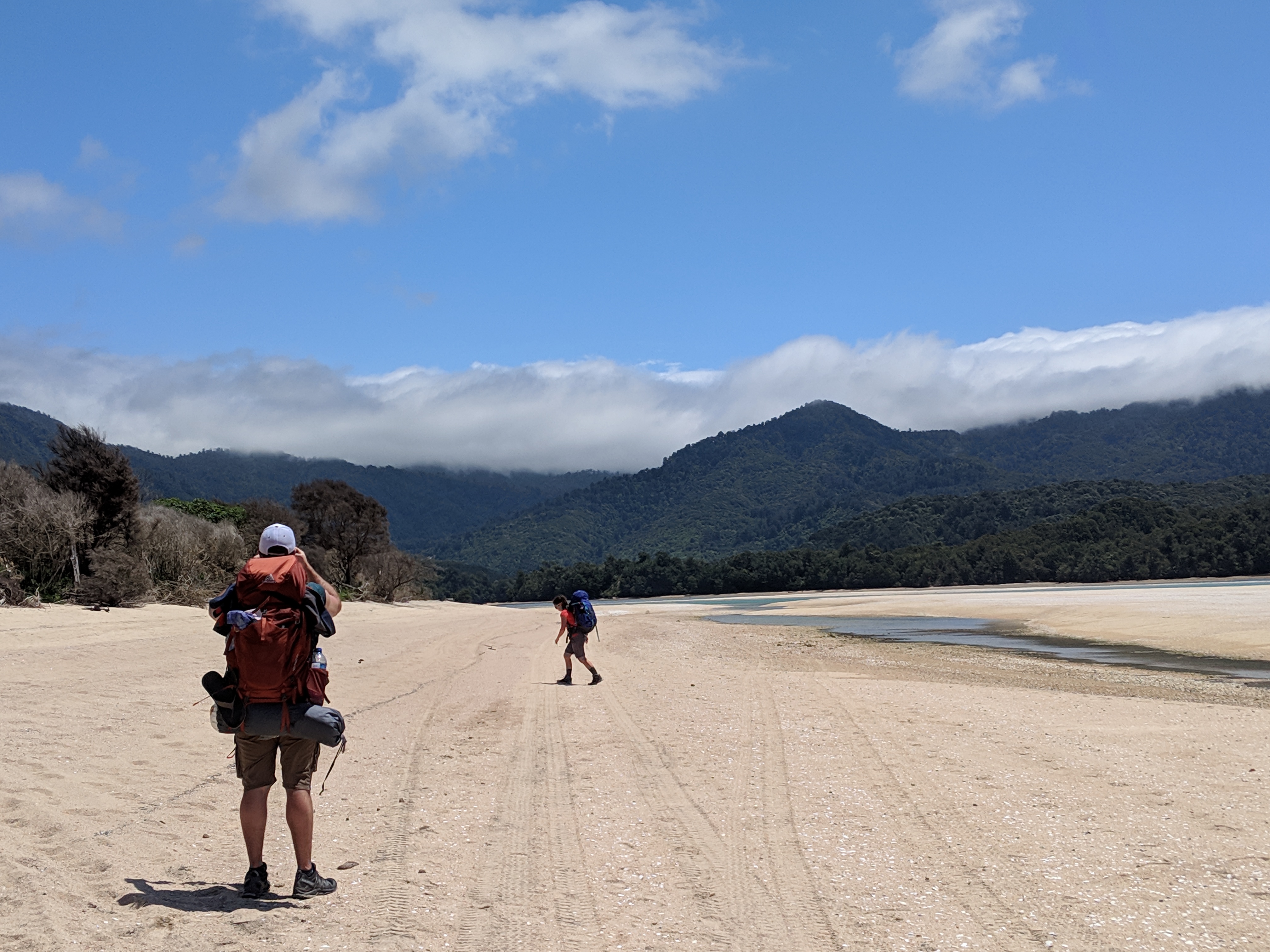
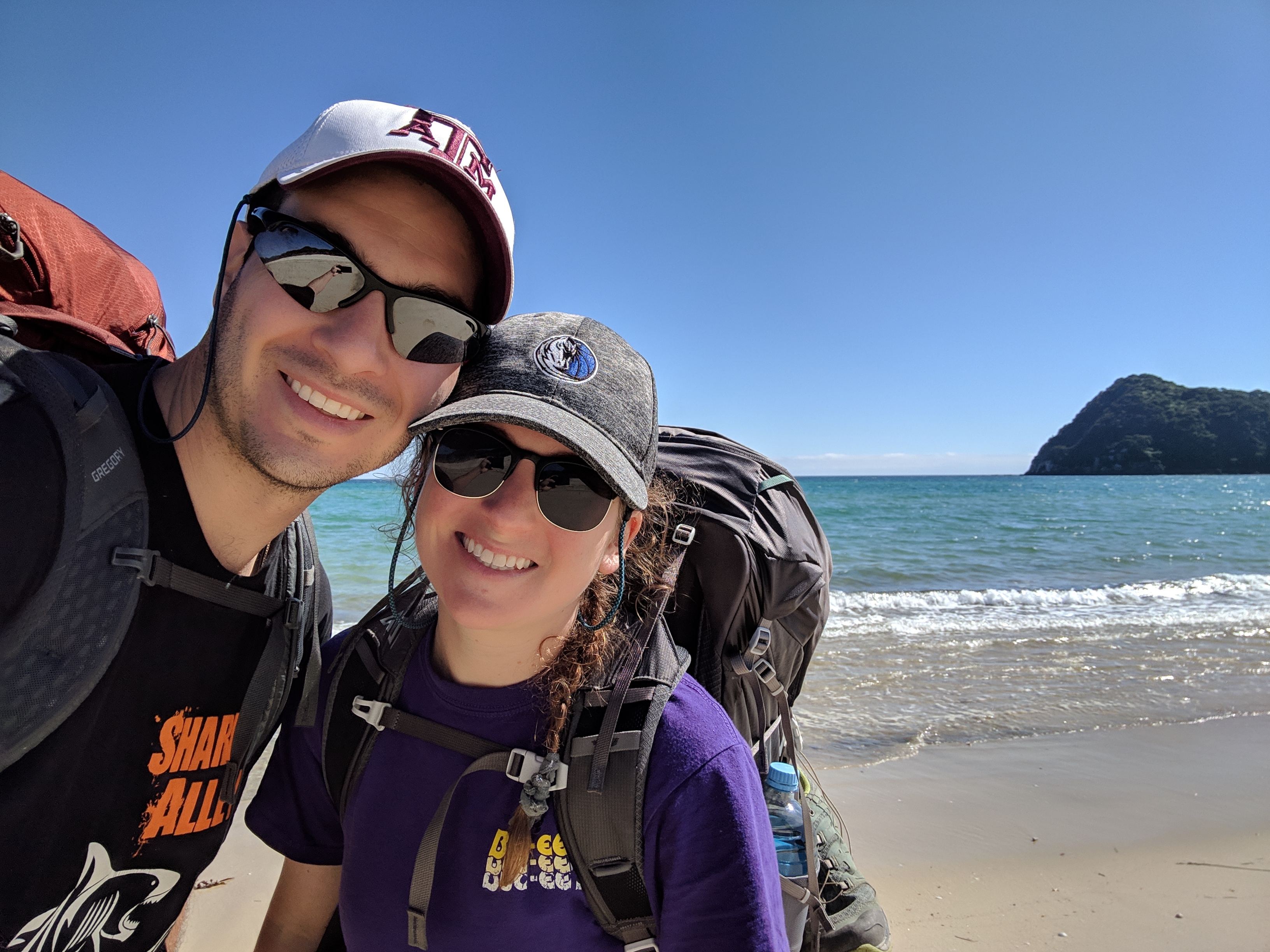
But let me tell you — this trek was amazing! On our first day we got up around 6 am to make the hour long drive to the Abel Tasman car park in Maharau. Since I was not 100% sure on what I was getting myself in to and it was my first multi-day backpacking trek, we decided an early start would benefit everyone. (Luckily, it also meant we had the track to ourselves for the first few hours of the day!)

DAY 1: Maharau to Anchorage Bay
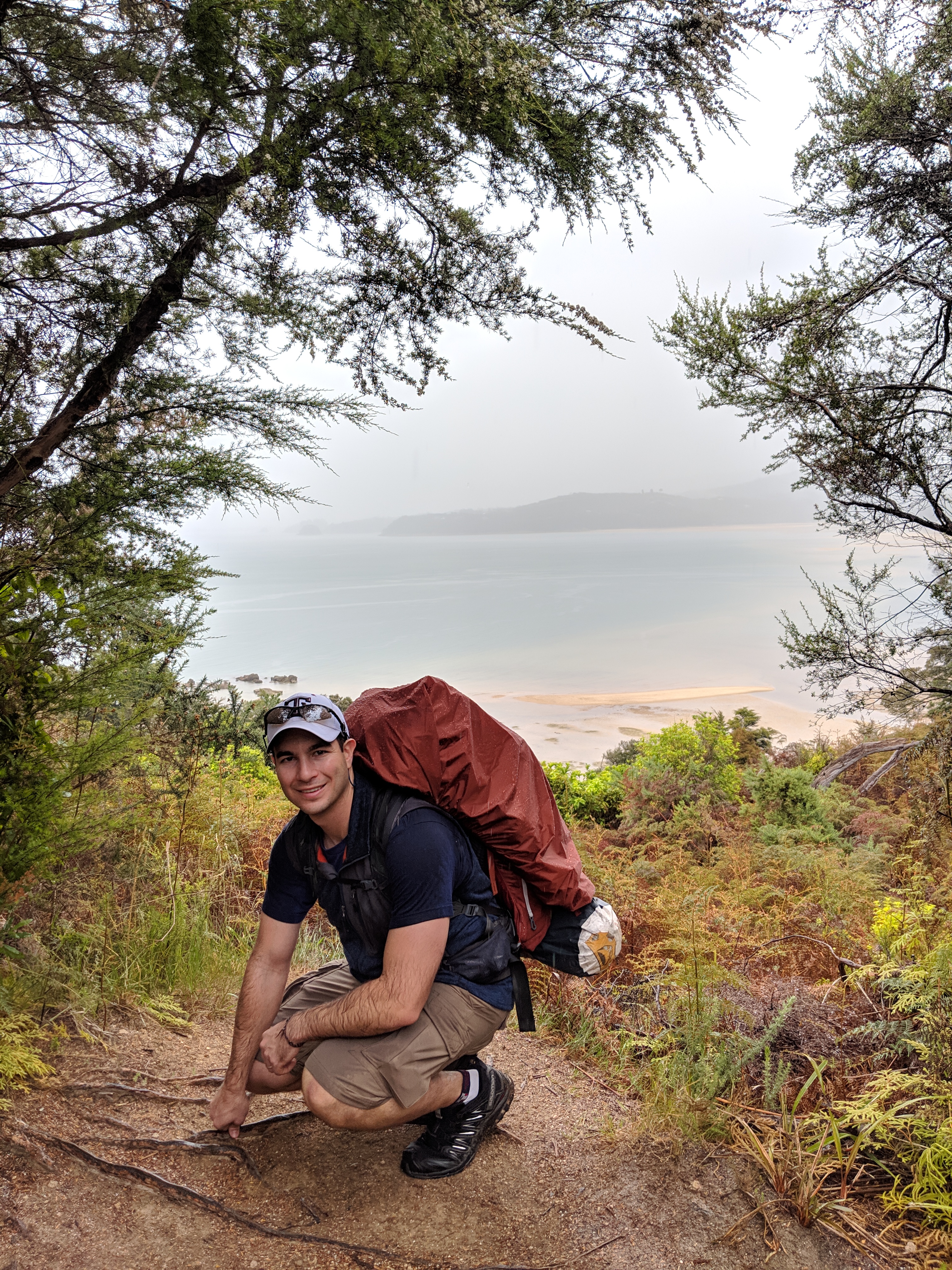
The weather so far in New Zealand had been a lot like Seattle: 60°F, grey and drizzling. But when we drove up to Abel Tasman, the skies were looking clear-ish. That is until we set foot on the trail. As soon as we started walking it began to rain. We thought it might pass, but after a few minutes it did not. So we stopped, took off our packs, pulled on our raincoats, and reloaded our gear.
Once rain ready, we took about 5 steps before the rain stopped. (Great!) We though the rain would come back, but after a few more minutes of walking it started getting hot and the rain was still gone. So we stopped again, took off our packs, put away our rain gear, and got reset one more time. But guess what! As soon as we finished, the rain started again. So we gave up and decided that we would just get wet.
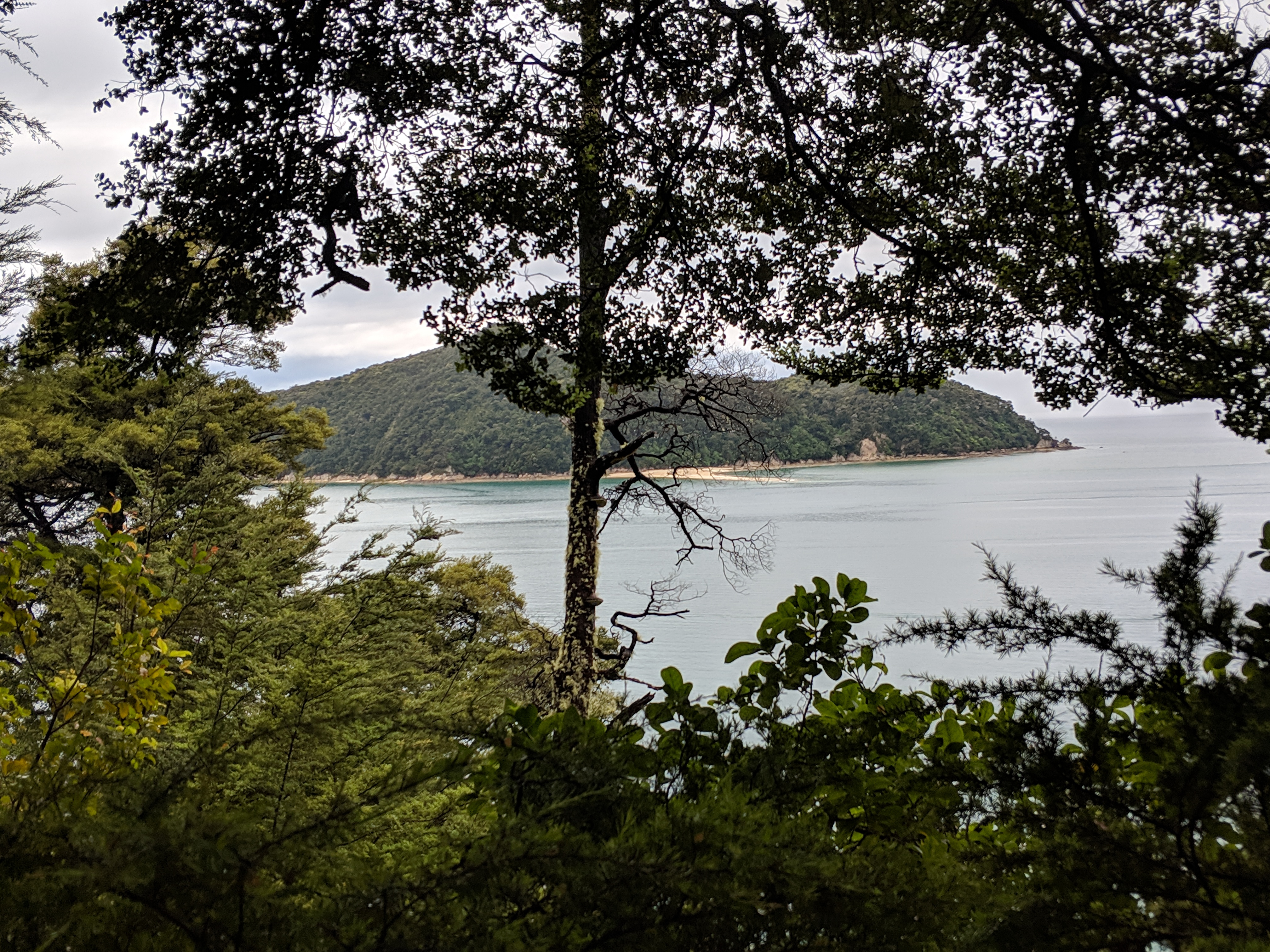
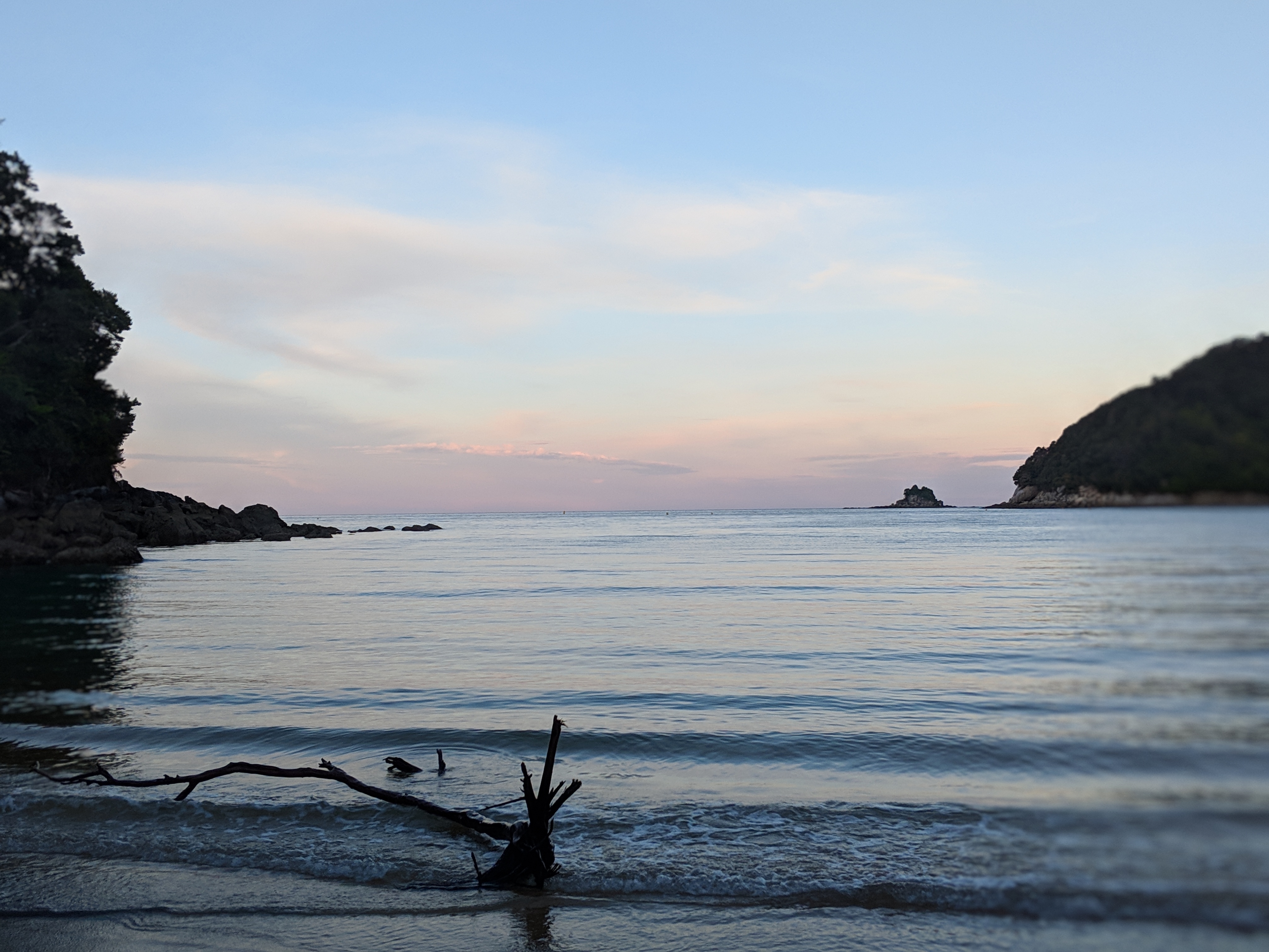
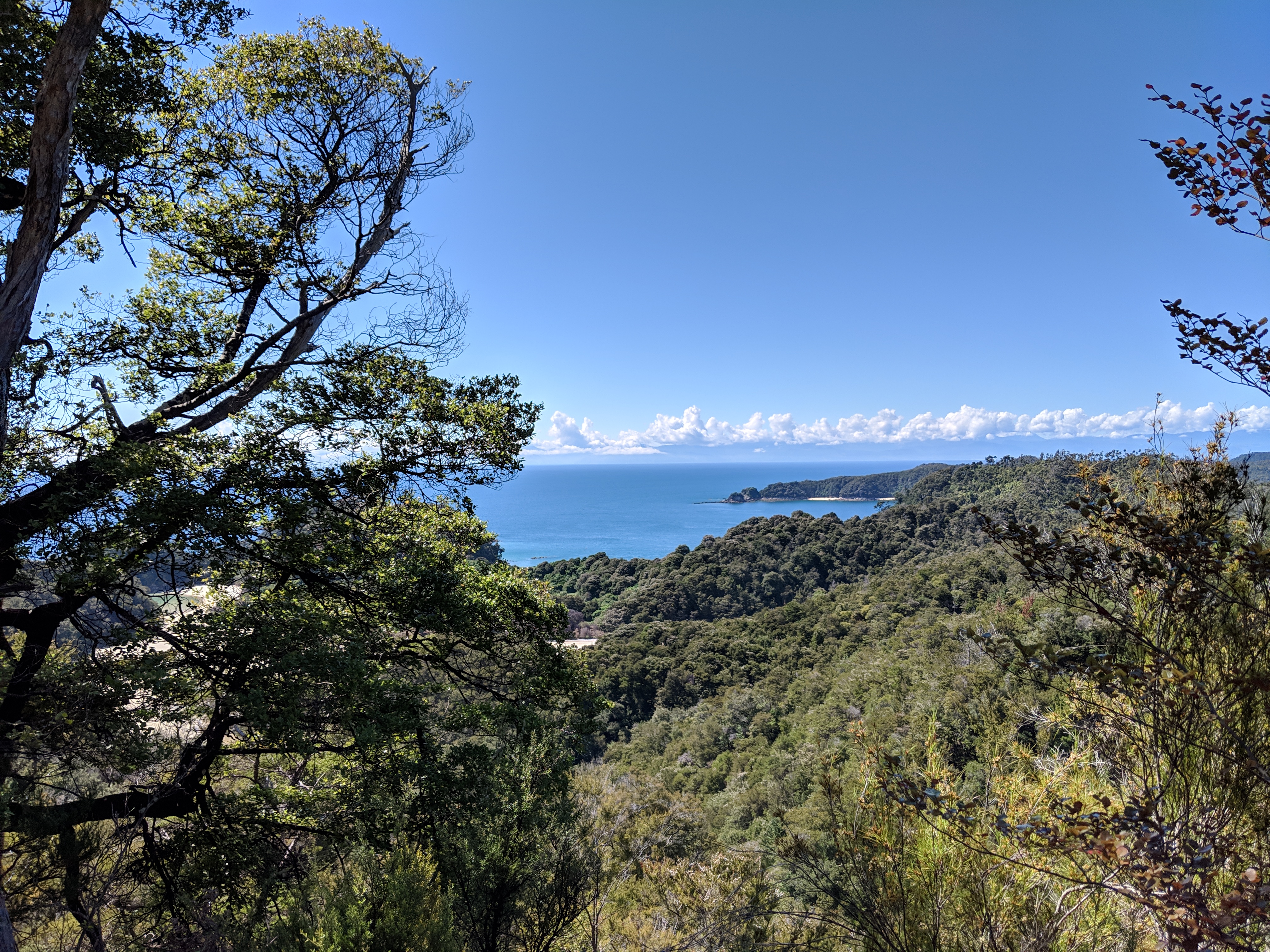
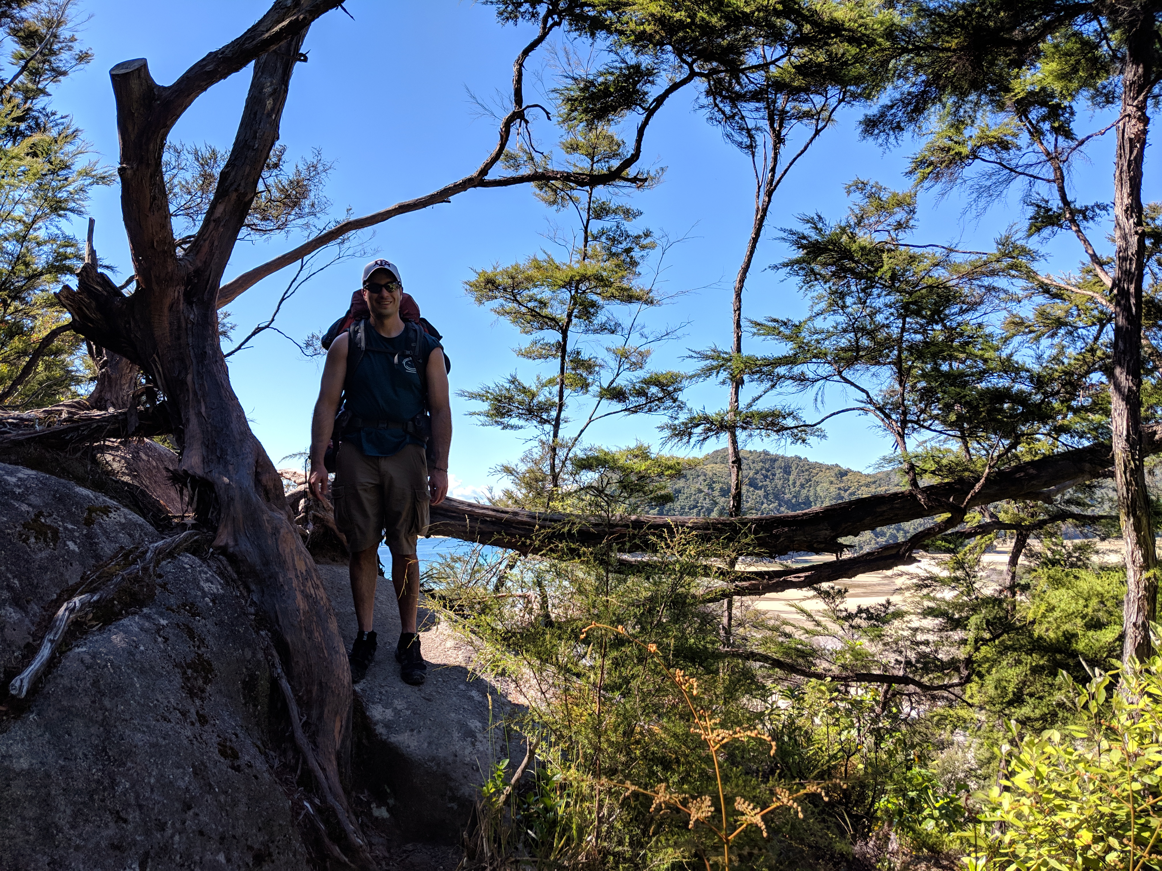
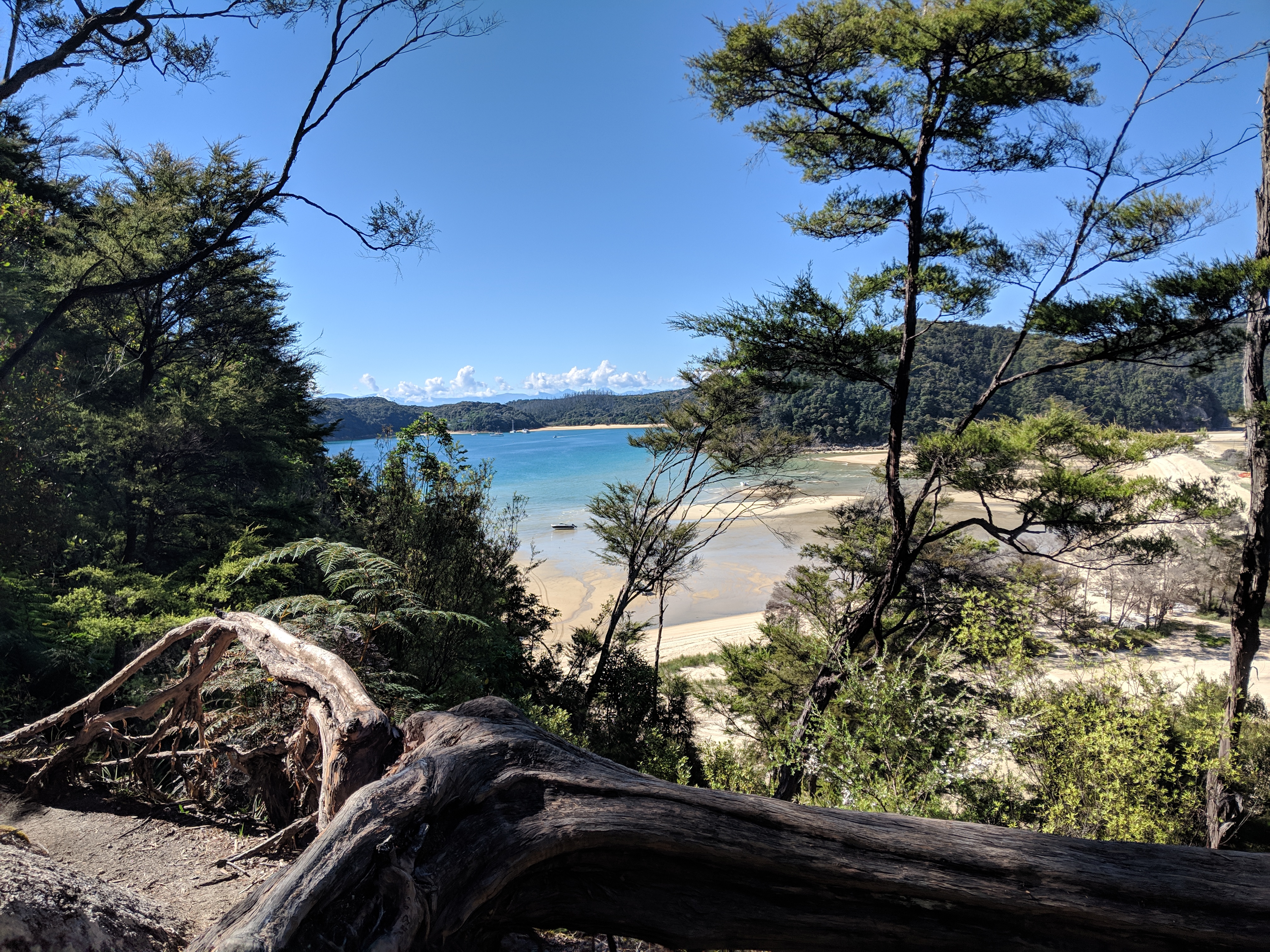
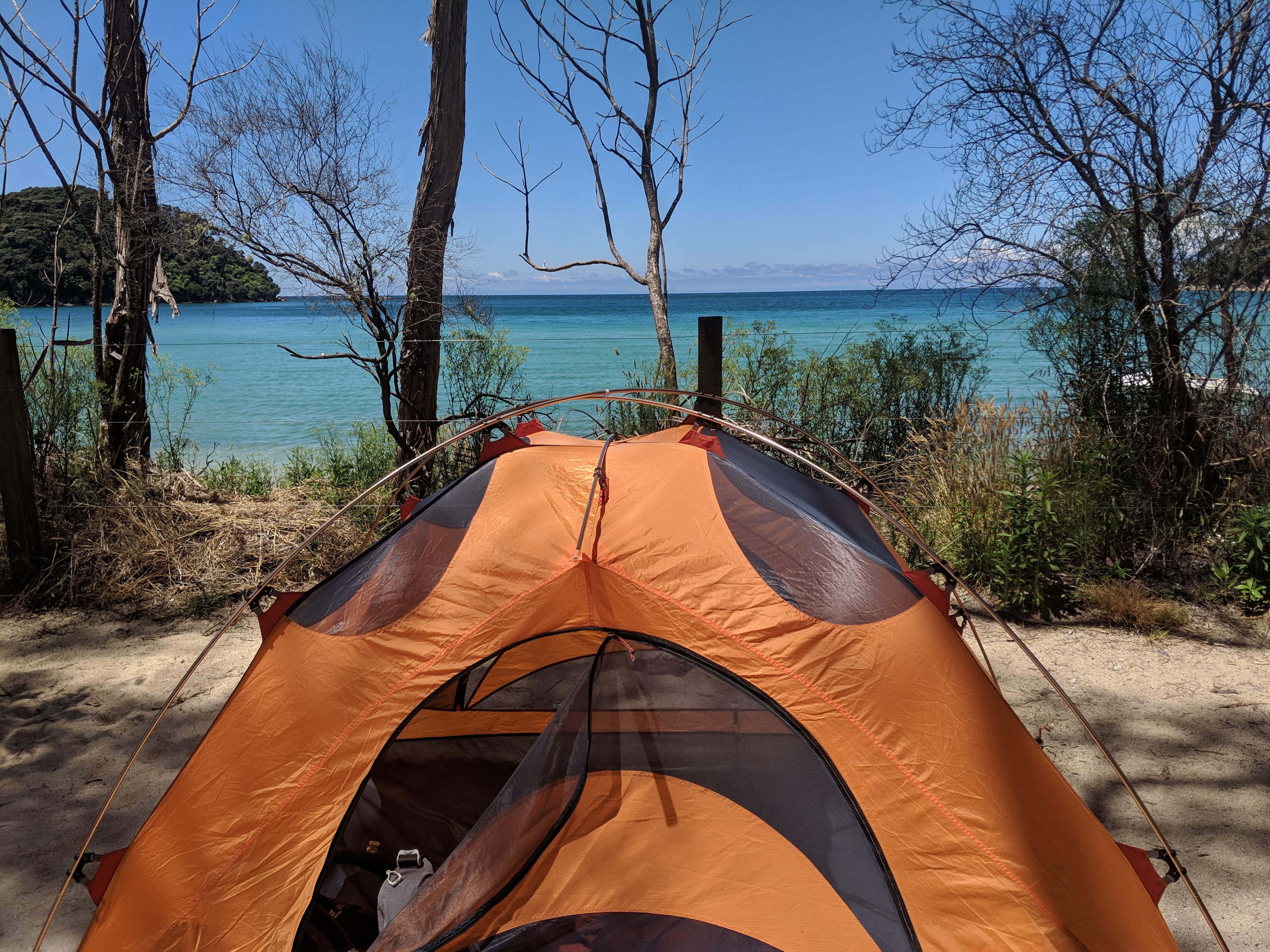
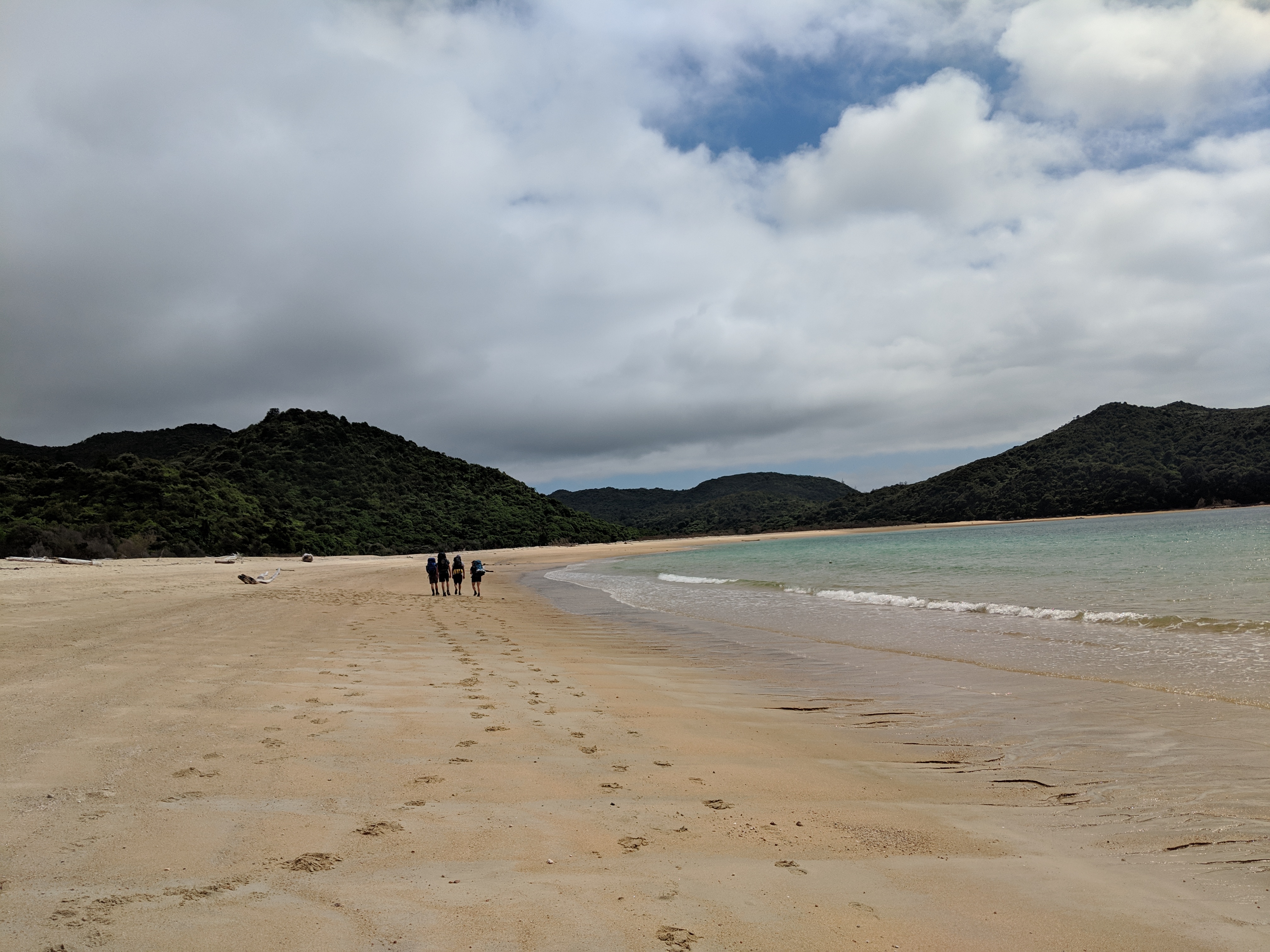
But rain aside, the first day was great! The track was easy, the birds were singing, and around every turn came another stunning view. We made it to camp (around 12.4K or 7.7 miles) in about 4 hours and looked for a place to set up our tent on our first gorgeous beach just in time for the sun to come out. (Yay!)


One girl with a prime, beach-front, secluded site was leaving, so we jumped on it – or tried to. We tried to wait patiently as she packed up, but she took her sweet time – laying out her tent apparently unsure how to pack it up. We offered to help but she said she was trying to figure out what to do because it was “dirty” (well, yea — camping!). We got our tent ready to drop on the site when she finally left so we could hit the beach, but were still waiting on her a few minutes later when a family with 6 or 8 kids decided that they should set up their 6 tents right next to this prime spot. After about 10 minutes of the kids yelling, and this girl still trying to get herself together – we gave up and moved to the second best spot we could find.
Then – the beach!!
The water was cold but the sun was warm and we were thrilled. After enjoying the water for a bit, we started talking with a group who were taking an afternoon walk to a site called Cleopatra’s Pool. We wanted to go there as well, so tagged along since they knew the way. Cleopatra’s Pool is a rock pool with a natural, moss-lined water slide! The water here was even colder, but the area was gorgeous and the water slide was fun! This added around 5.2K (or 3.2 miles) to our day but was absolutely worth it.
Then we came back, cleaned up, and crashed in our tent for the night.
Day 1 Total Distance: 17.6K or 10.9 miles
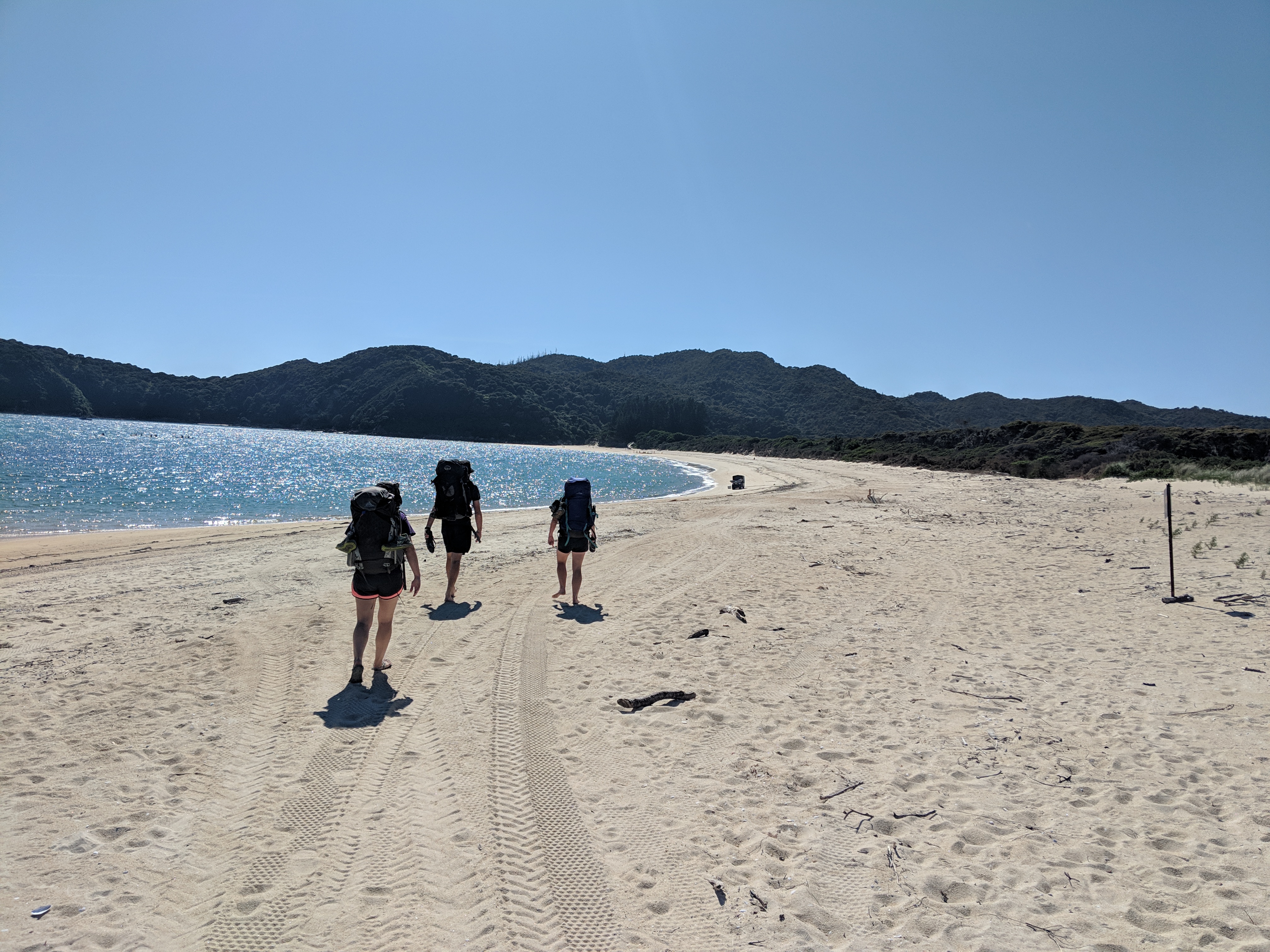
Day 2: Anchorage Bay to Bark Bay
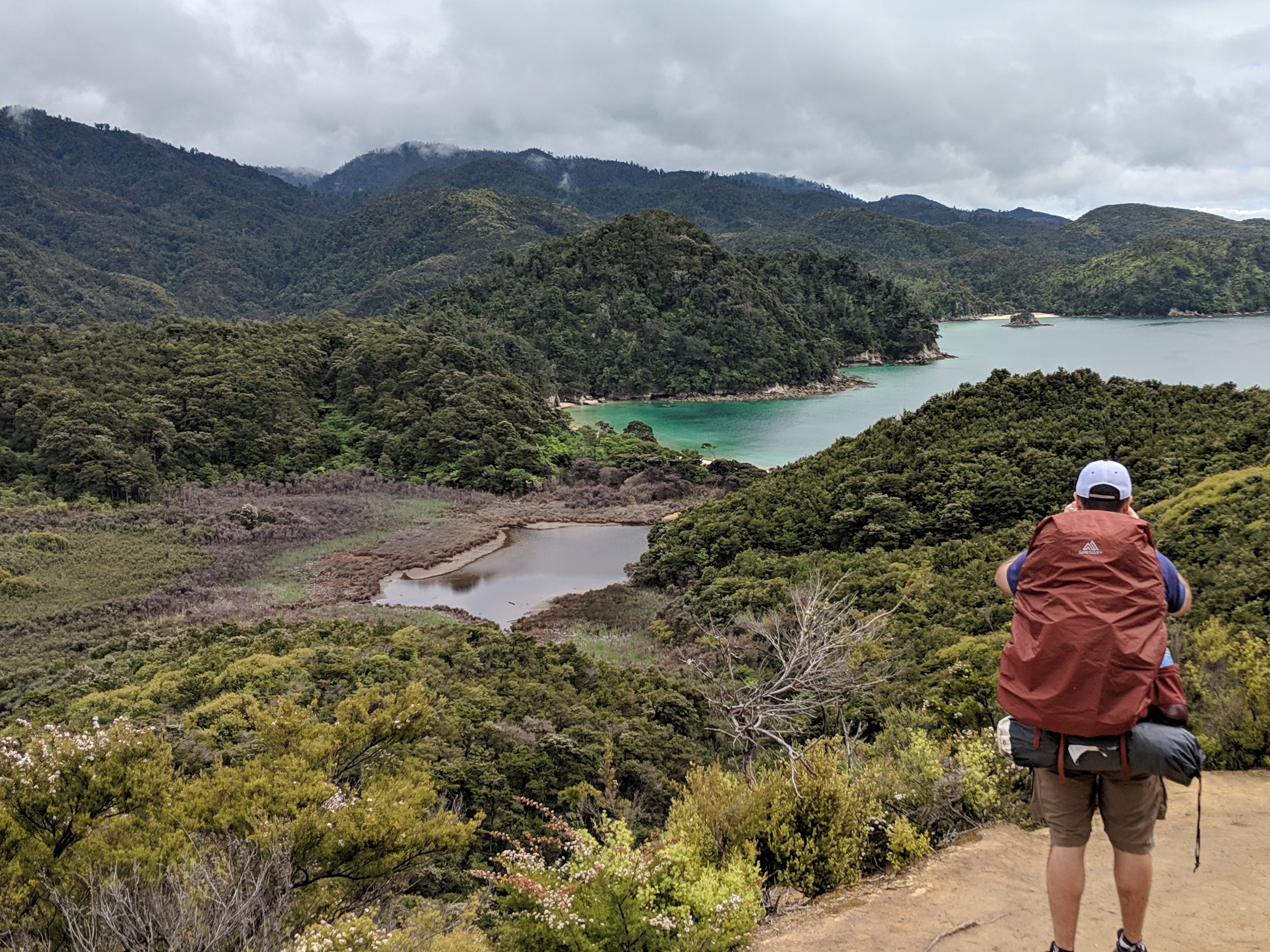
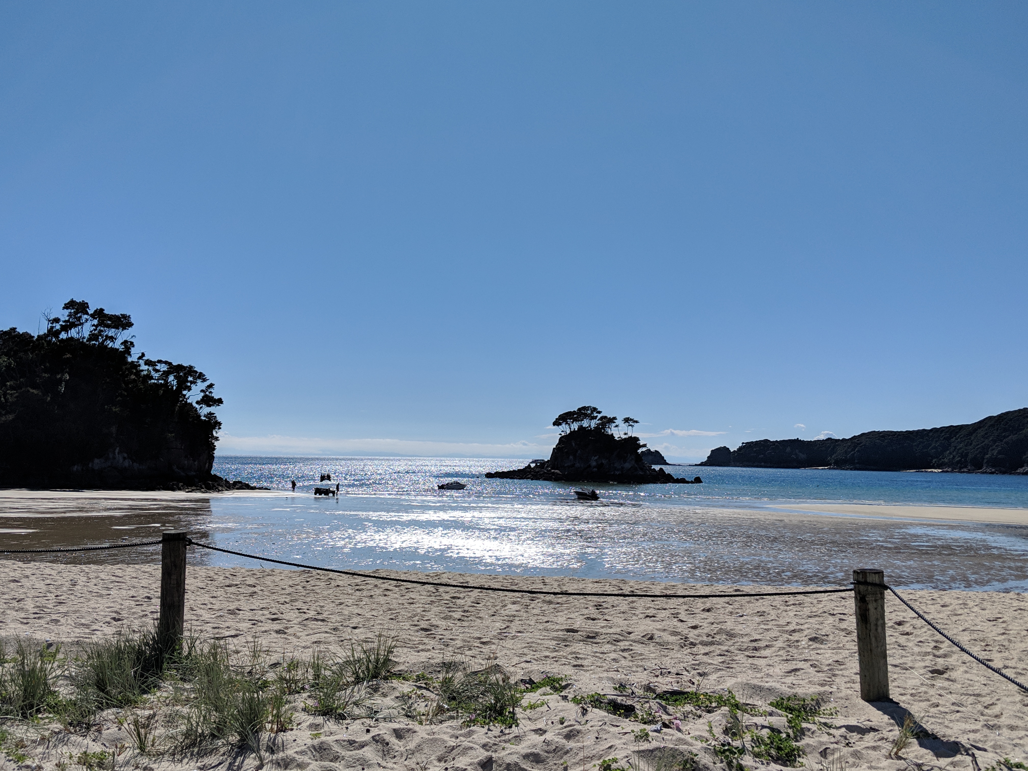
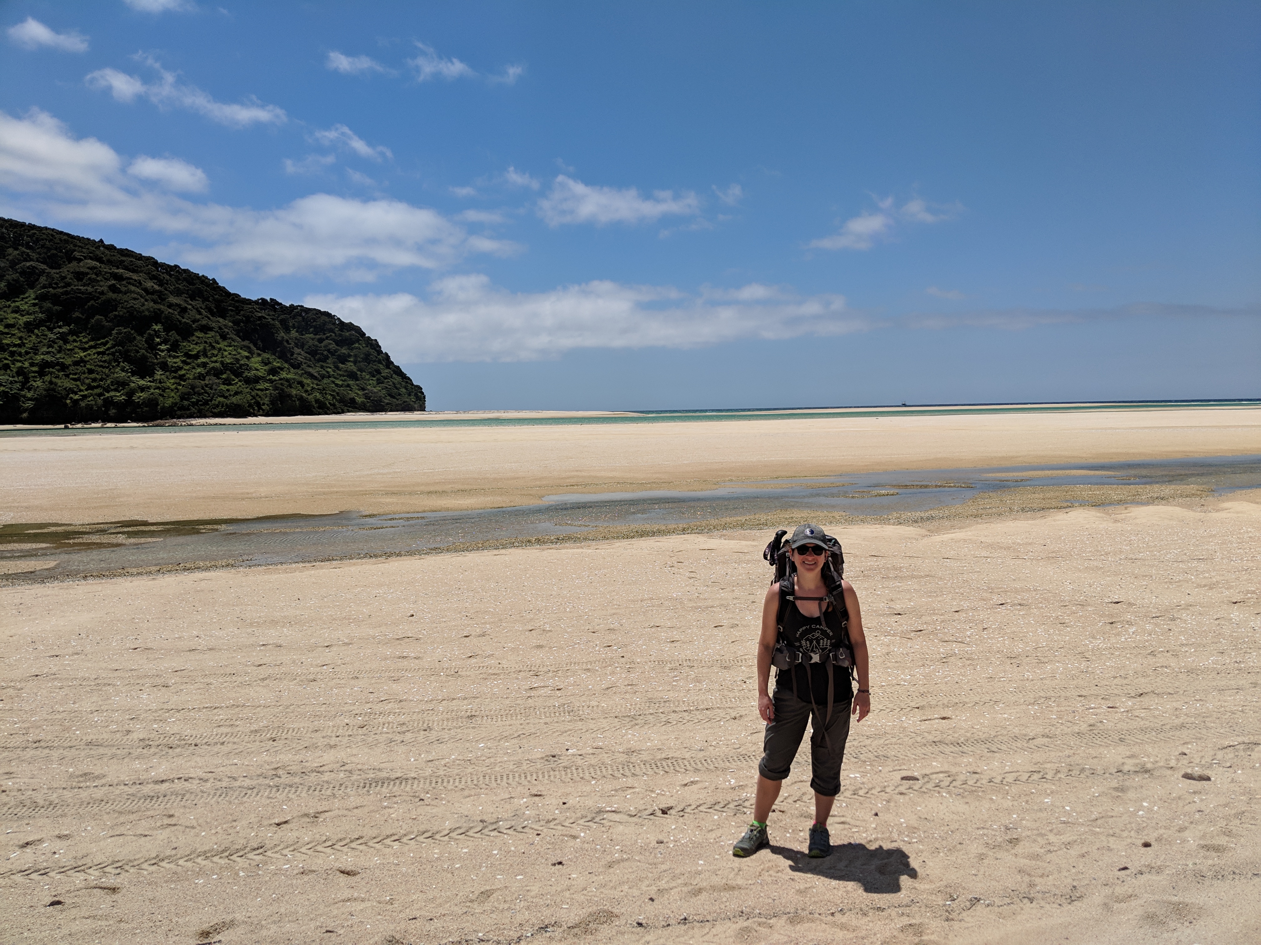
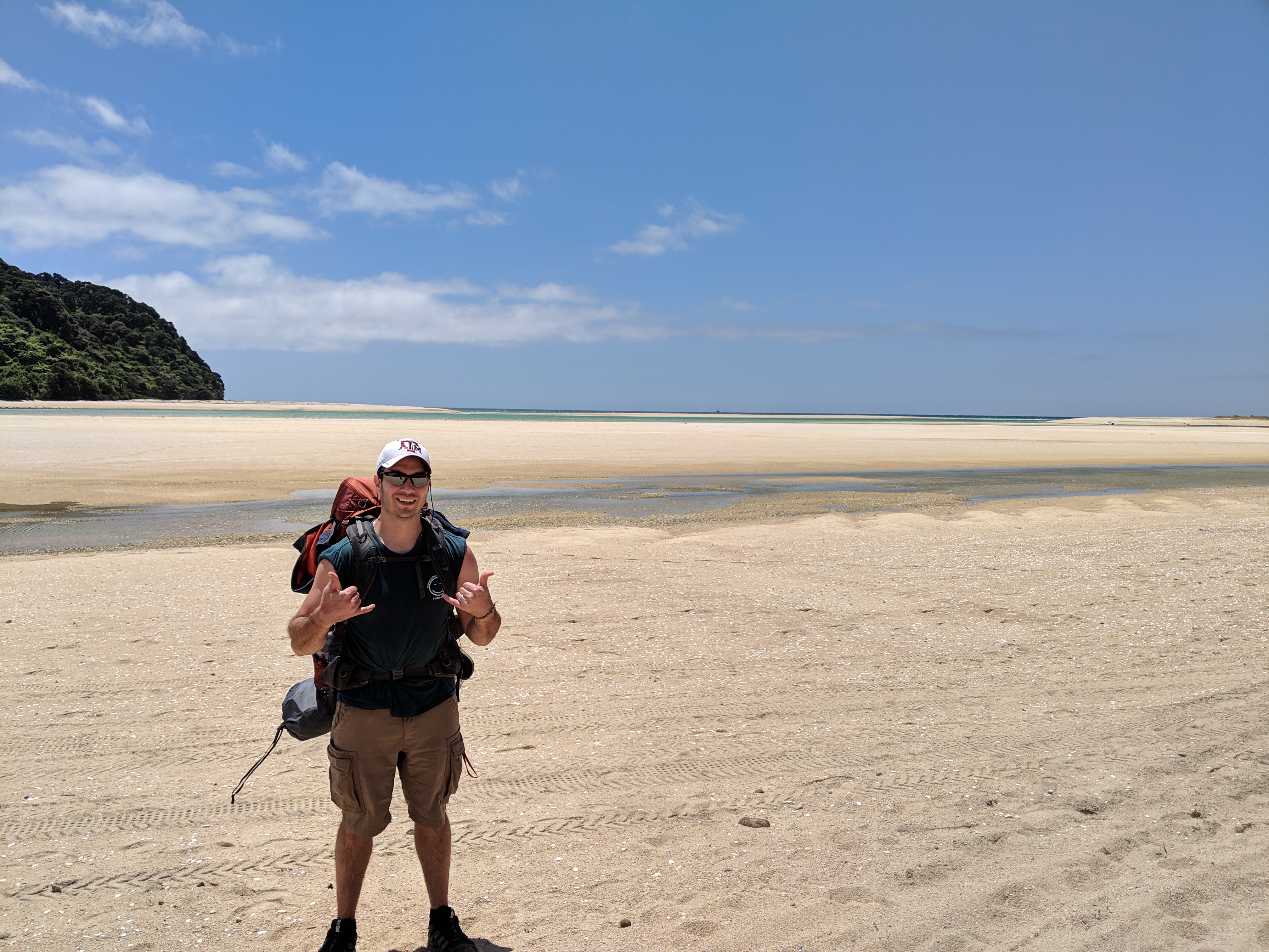
Day 2 was nothing but glorious sunshine! This leg started with an option to either plan your departure around the low tide, cutting about 3K out of the walk for the day, OR to take the high tide track. Obviously I opted for the low tide track! It took a hot second for us to figure out how to read some of the tide charts, but we got lucky that the low tide was not too early in the morning. Plus you can cross up to 2 hours on either side of low tide.
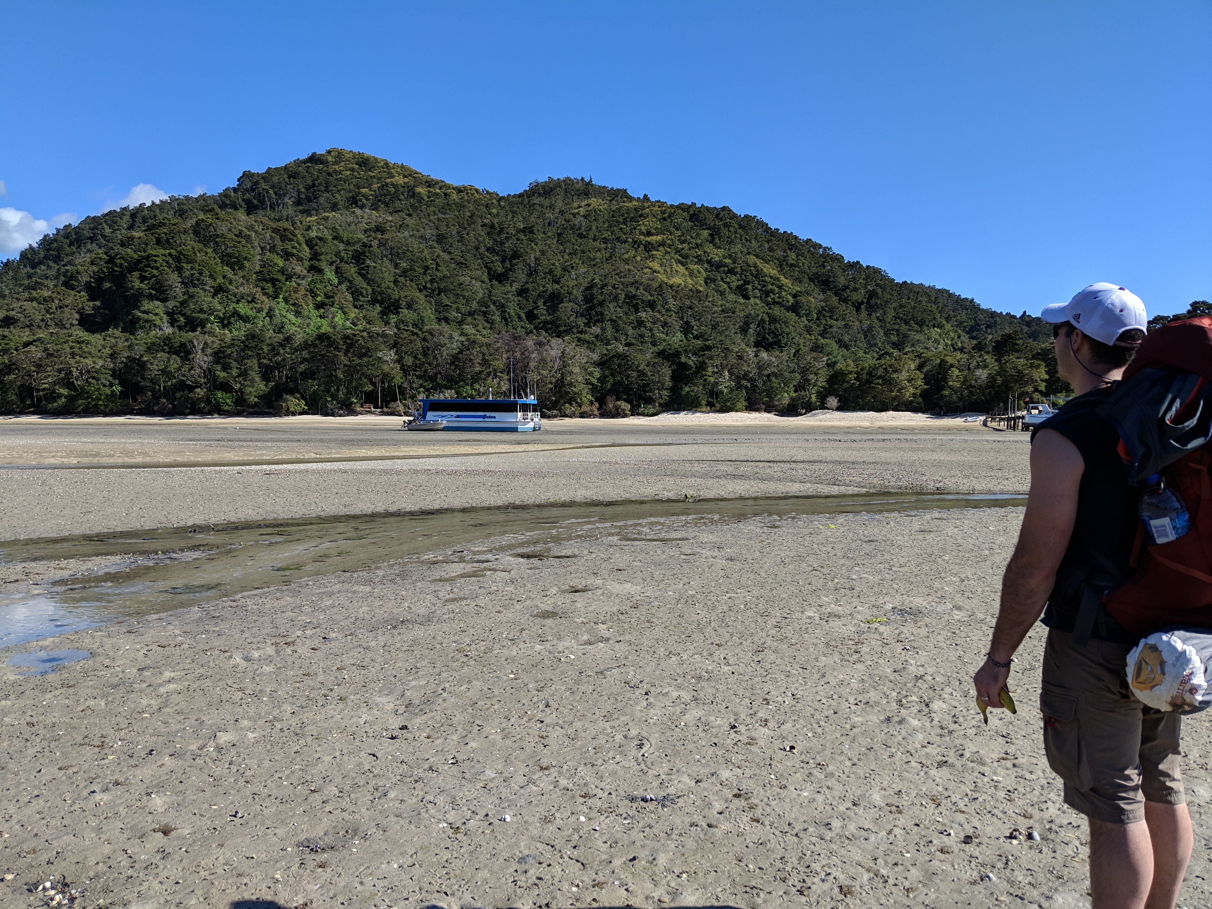
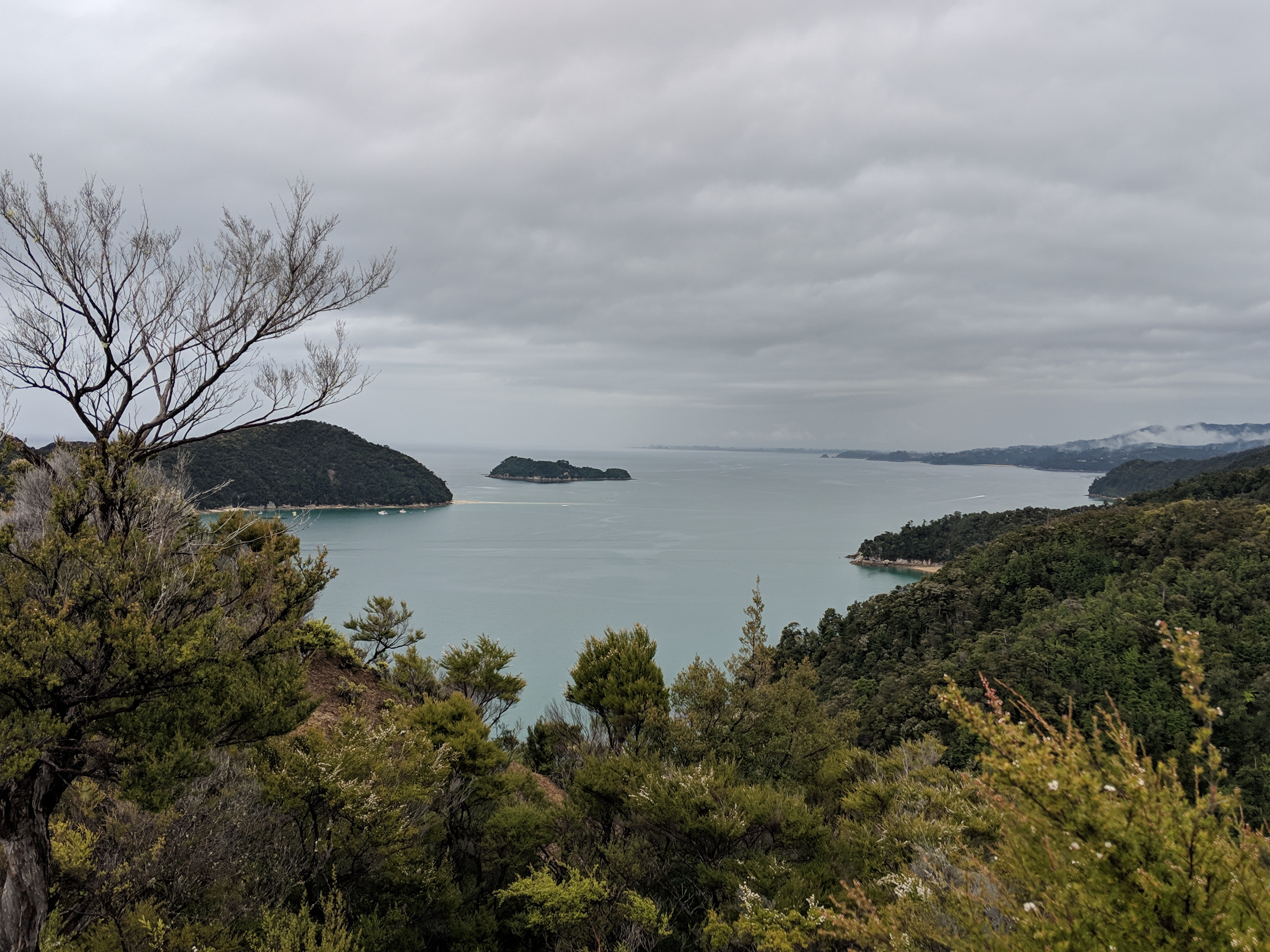
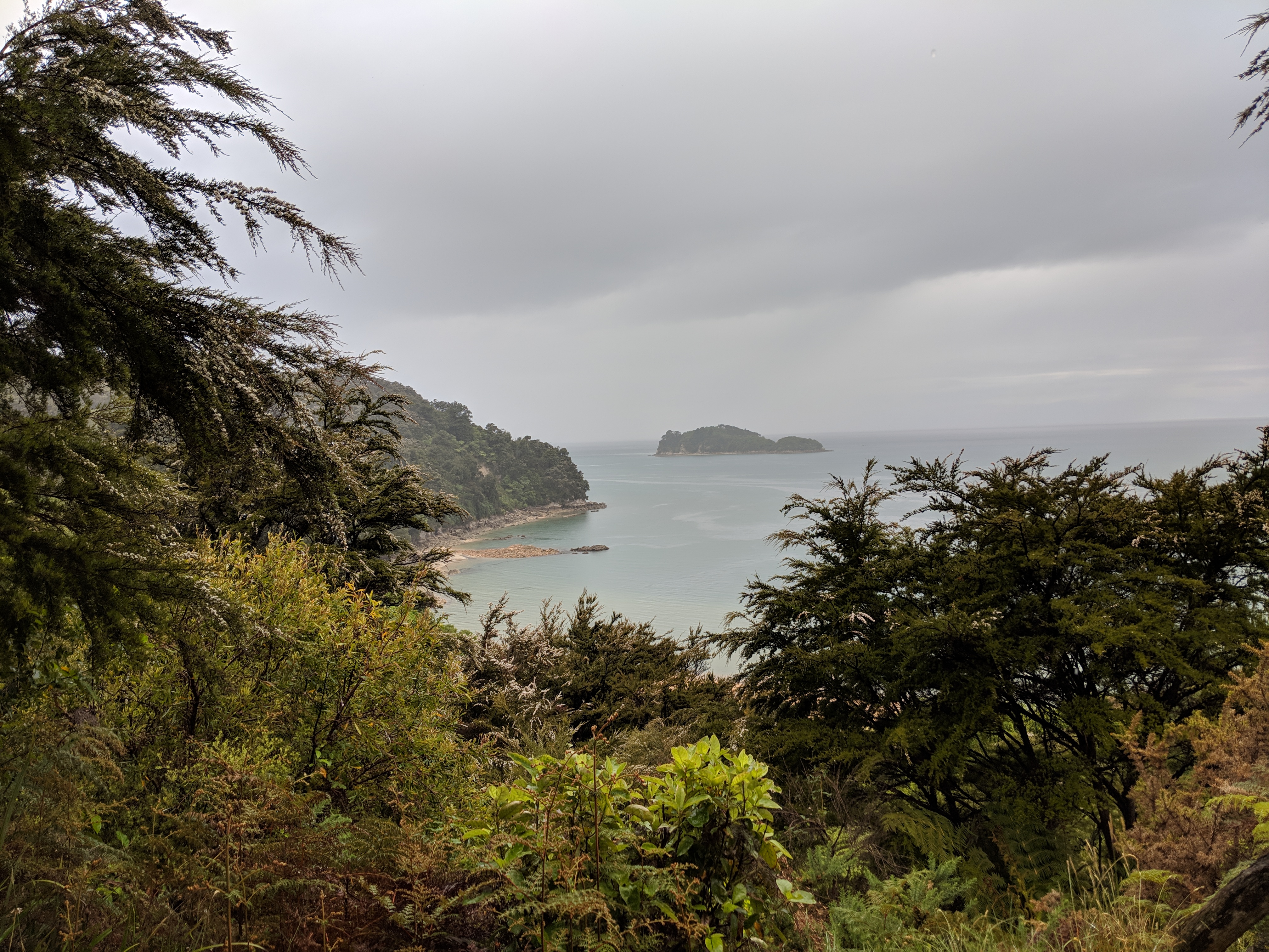
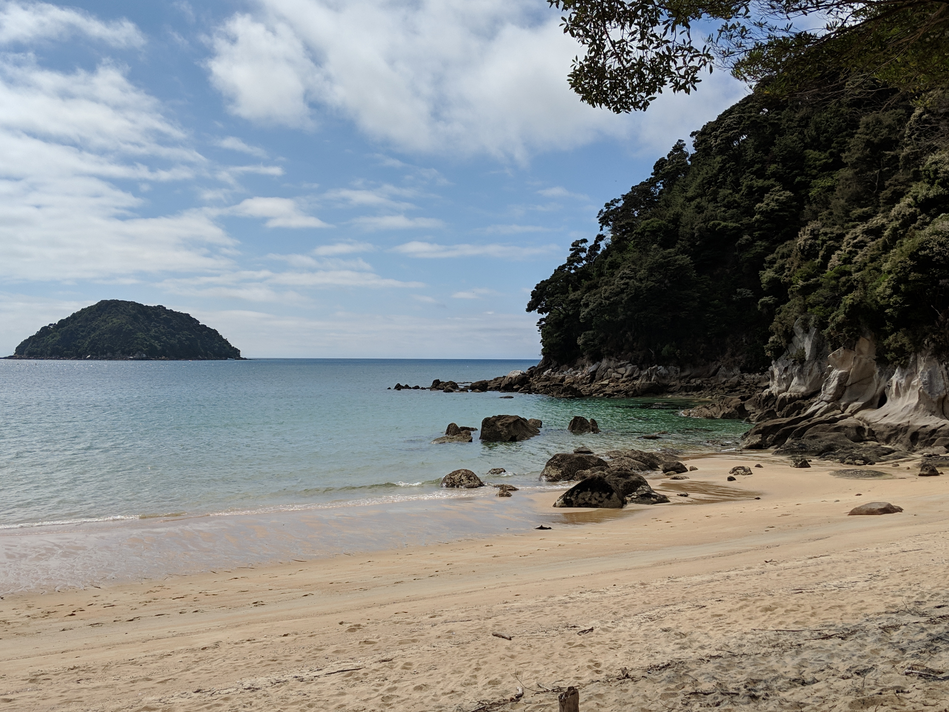
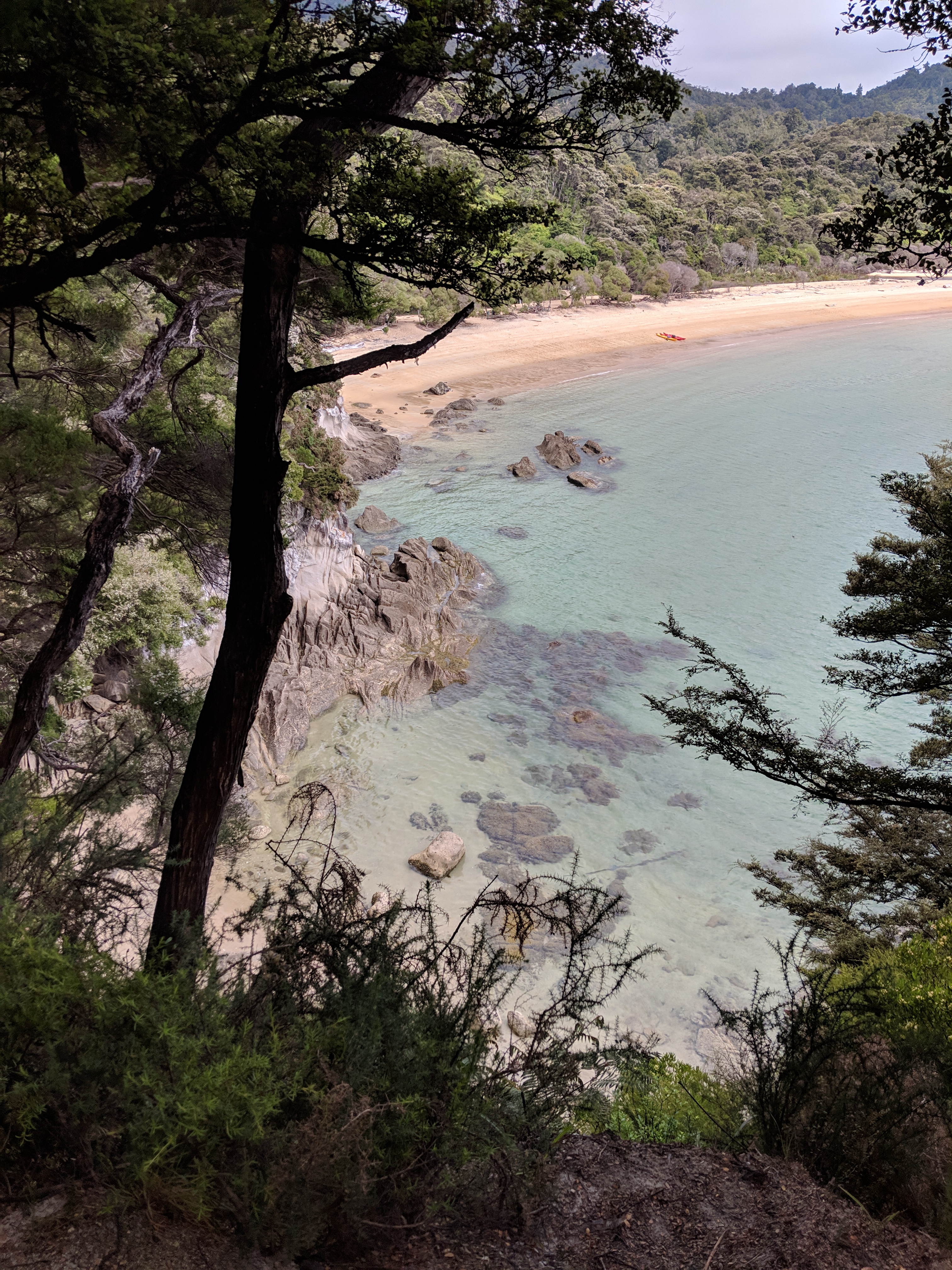
Since we took the low tide track our hike for the day was a bit shorter than expected as I had planned the distances based on the high tide track. But the views were even more stunning.
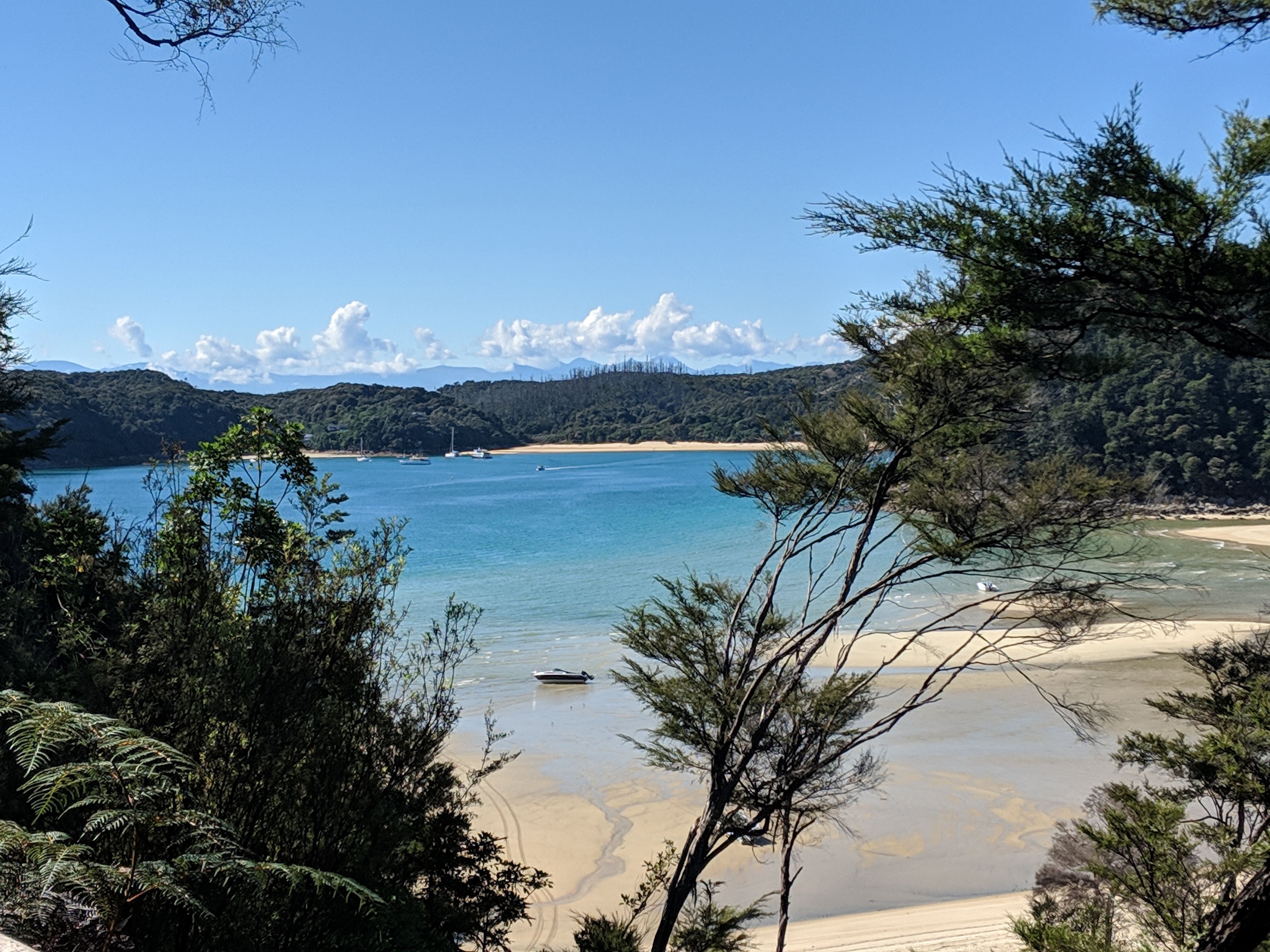
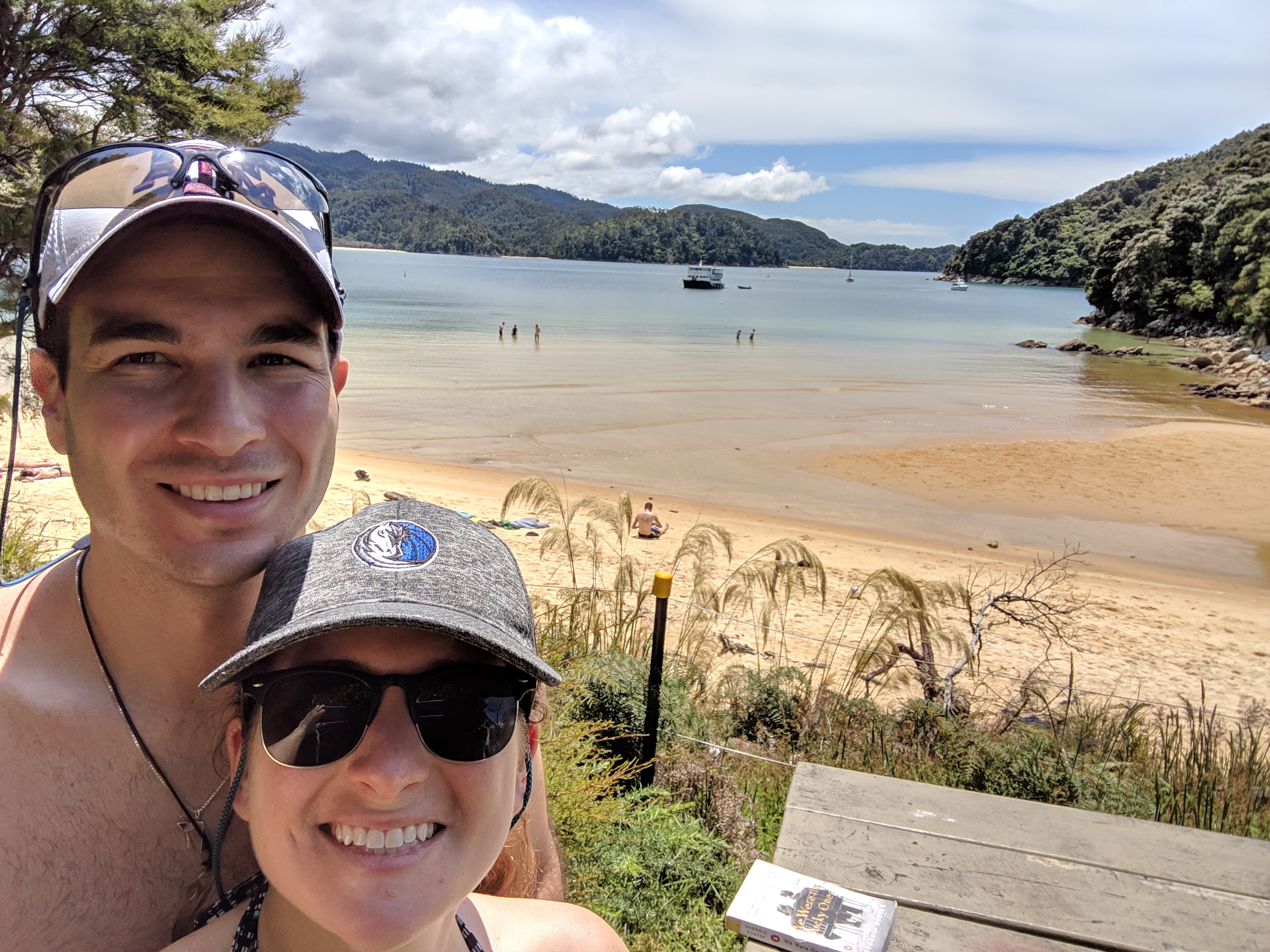
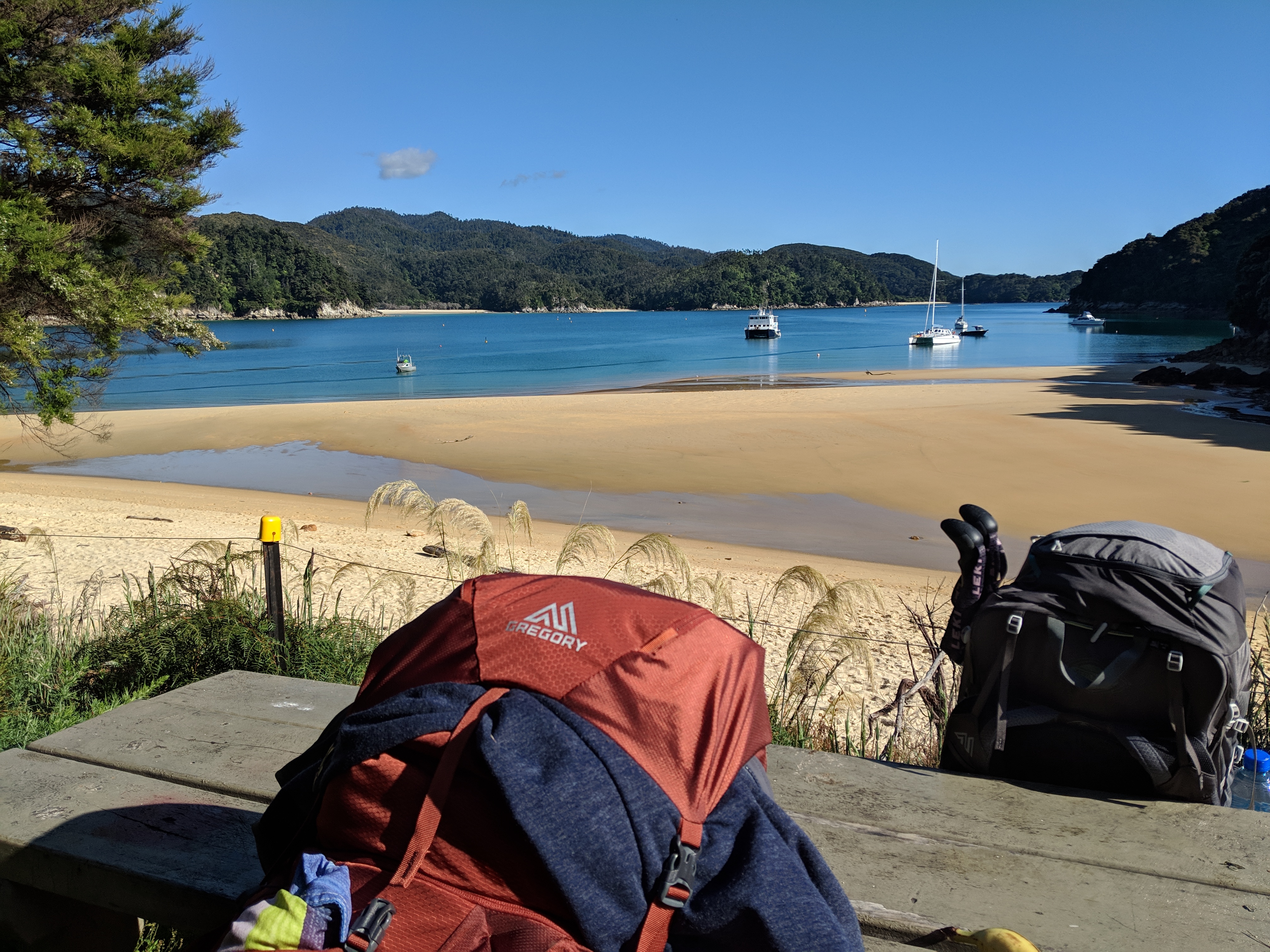
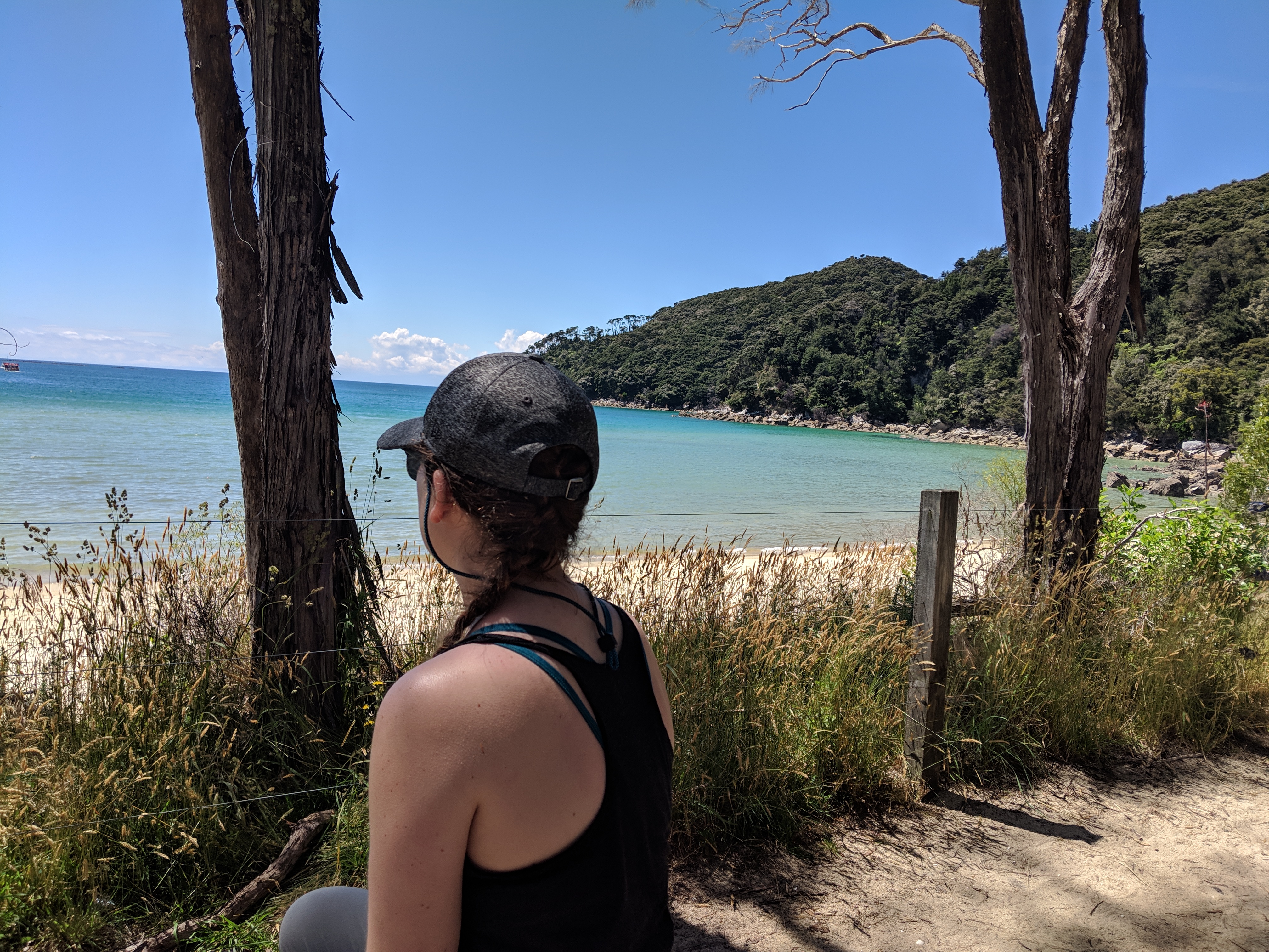
AND it meant we got more beach time! So we set up camp and jumped in the water, relaxed in the sand with our books, and just enjoyed a nice beach day which is exactly what I wanted to do.


Day 2 Total Distance: 8.4K or 5.2 miles
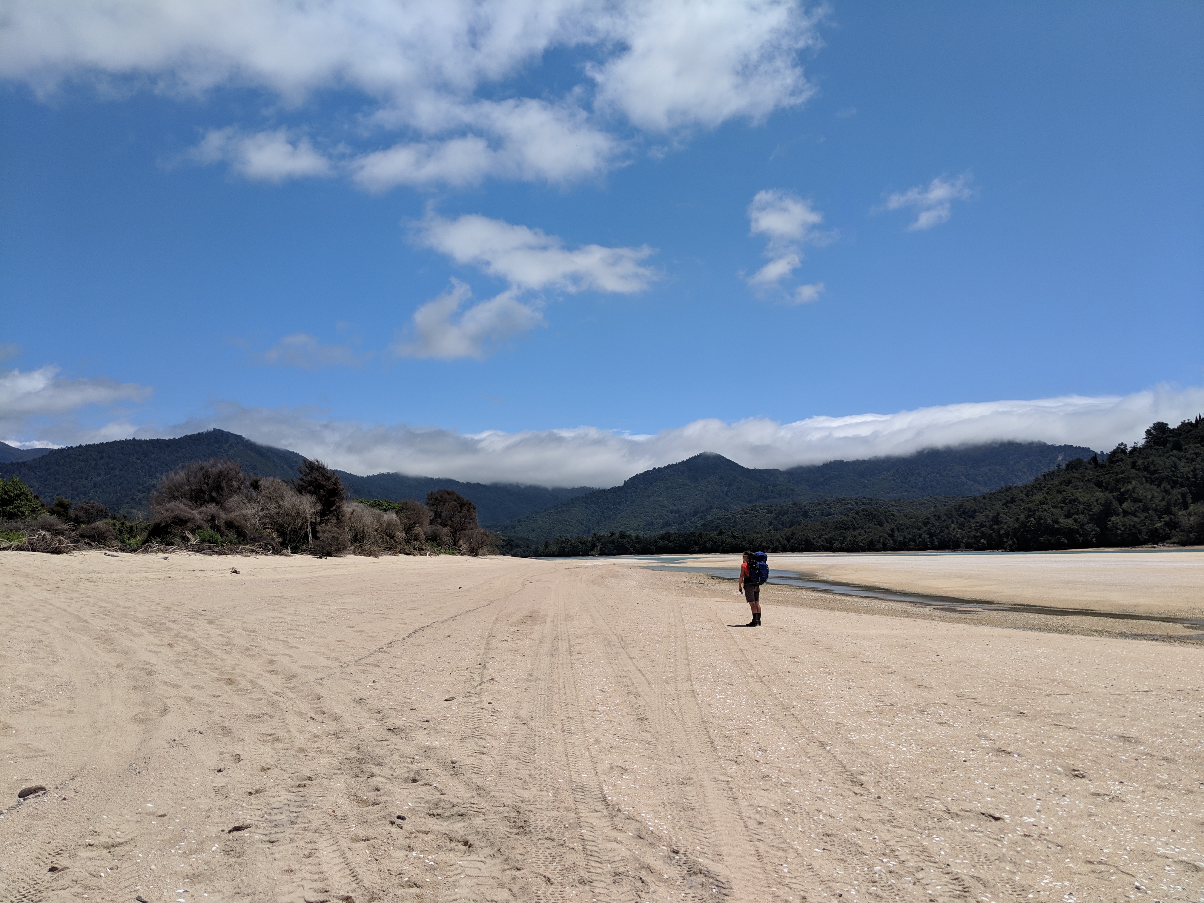
Day 3: Bark Bay to Awaroa
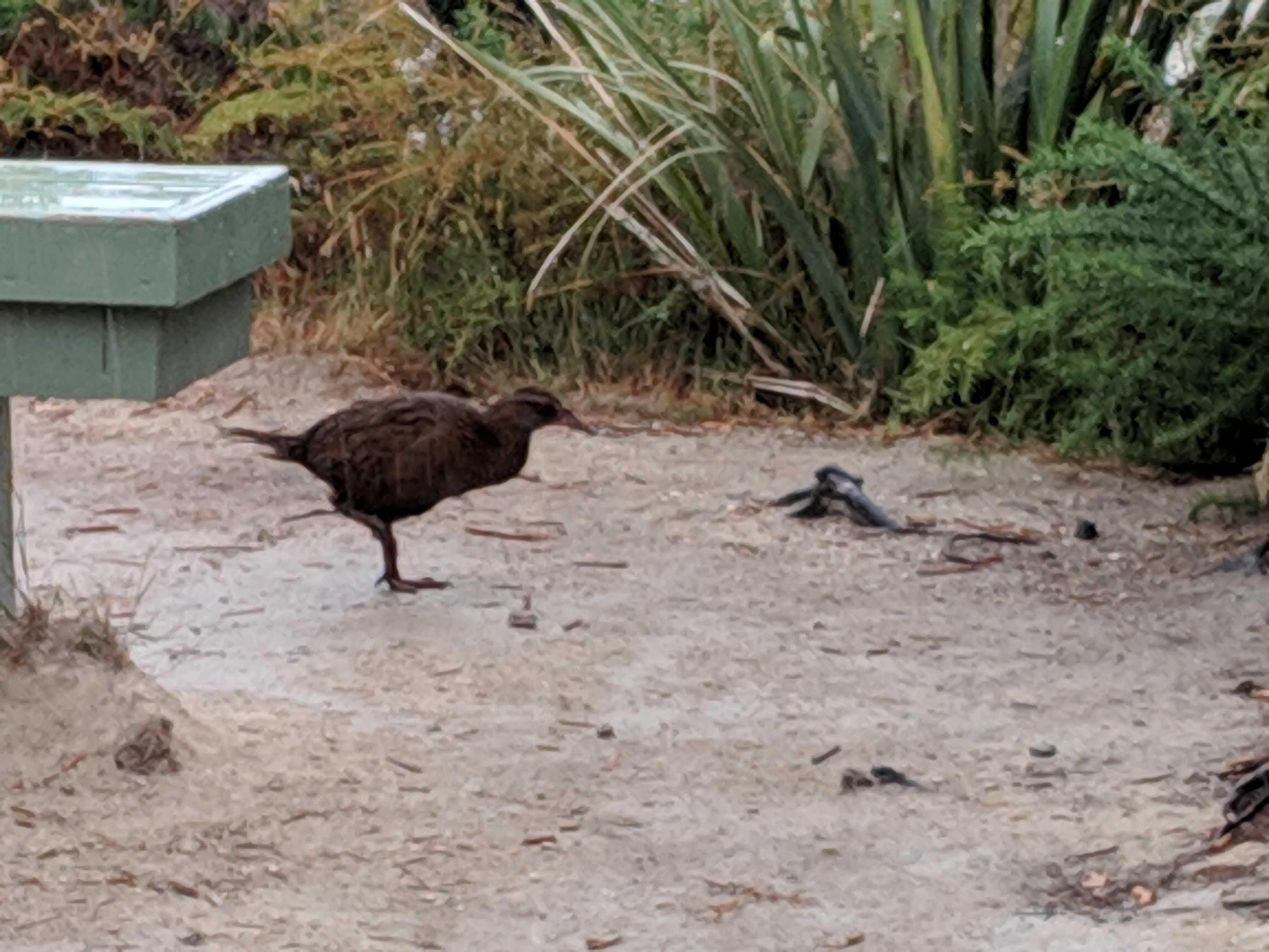
The next morning, we were refreshed and ready for our final day of hiking. As we were packing up our stuff, we noticed that something, somehow had take a bite out of our food (a stack of PB&Js) even though we had kept a close eye on it and kept it in the tent during the night. We were confused, but continued to pack. That is when Brandon found the hole! Something – we presume a particularly “cheeky” wekka (pictured below) – pecked through our tent to get to the food!!
Once we patched the tent and packed up – we head out for day 3. We had another low tide crossing (though this one only saved us 10 minutes) and were on our way. At this crossing , we started chatting with another group that we played hiker’s tag with on the trail throughout the day as we took in these views.

After around 8K, there was a side track to a lodge that advertised food and beer! We sort of felt wrong about going as it takes away from the pack in/pack out experience, but warm food and a cold drink sounded good! (Plus our new kiwi friends were going too.) It would add another 2.6K total to the trip but we all felt it was worth it. So we went and had some good drinks, good pizza and good conversation with new friends.
As we were getting ready to hit the road again, we also had some good luck and learned that the tide was still low enough near this site that we could cross to our next camp in about 30 minutes! This would replace what we would later learn was a very hilly 6K+. (We felt sort of bad that we double cheated but what can you do, right?!)
So we made it to camp, went for a swim, and cleaned up for dinner. We had been eating PB&Js for breakfast, lunch and dinner all trip, and our new friends had extra food, so they shared! While we were eating, another random camper approached with a bowl full of muscles that she had picked at low tide, and offered us some. It seemed odd to us. but not to our friends! So they took some and cooked them up. They were pretty tasty!
After dinner we played some cards, got devoured by mosquitoes, and crashed, happy with our 3 days of adventure.
Day 3 Total Distance: ~9.3K (with all our cheats) or 5.8 miles
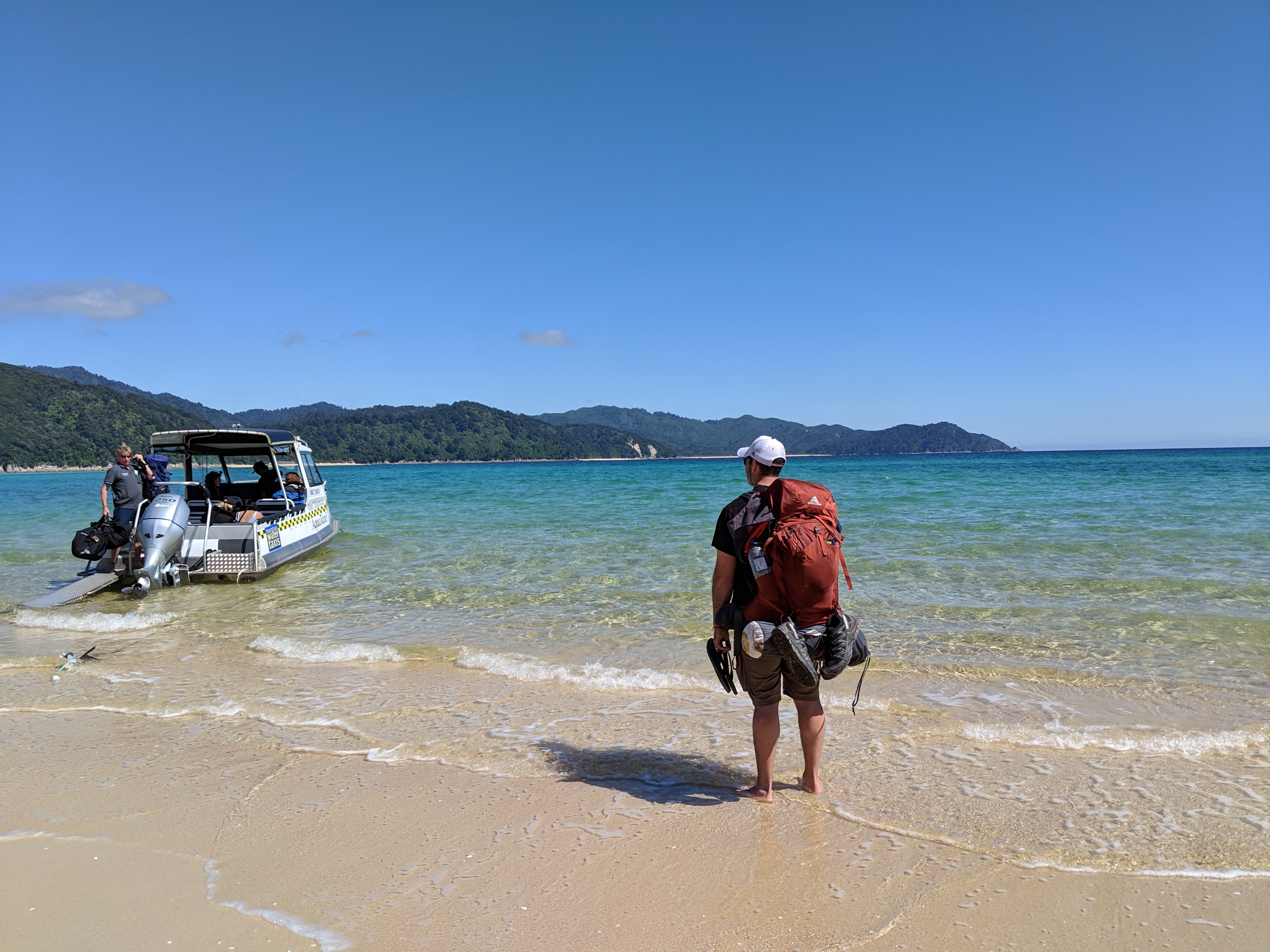
Day 4: Awaroa back to Marahau, then Greymouth
The next morning, we packed up our gear and walked back toward our surprise pit stop from the day before to catch our water taxi back to the start. It was another beautiful day on the beach and we relaxed in the sand while we waited for our ride.

On our way back, we made a few stops, but also got to take a small loop around Pinnacle Island so we could see some of the fur seals before heading back to our car. We grabbed some lunch (our first official “pies” of the trip – steak/cheese and steak/mushroom) before heading to Greymouth for the night.
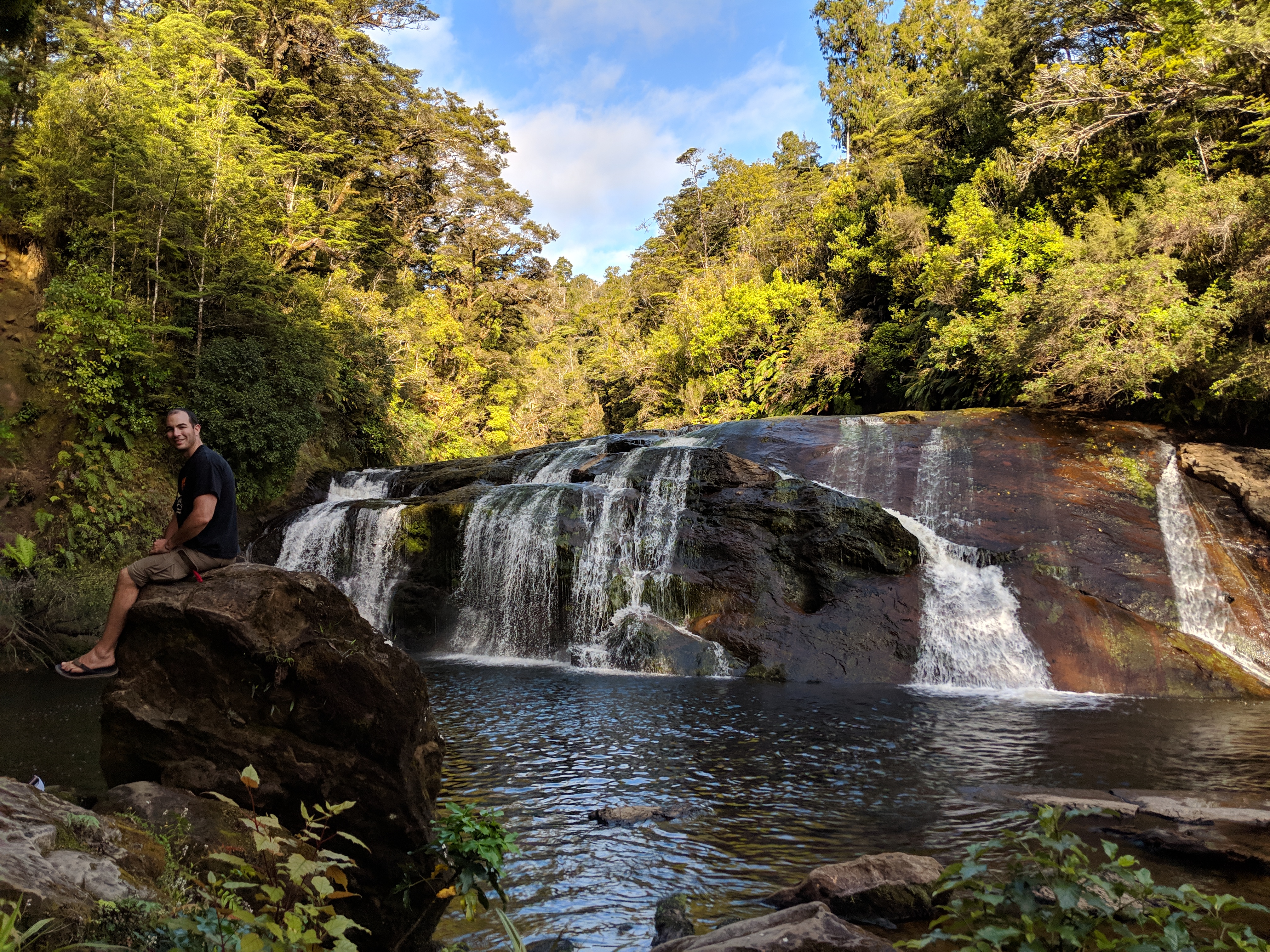
We only had that evening in Greymouth, so we did some quick exploring and visited Coal Creek Falls, Point Elizabeth, and Monteith’s Brewery before finally cleaning up and heading to bed.
Hiking the Abel Tasman was an incredible journey, but we only had one night to rest before our next adventure would begin.
